Transport Functions
Port
Rail
Hub Profile
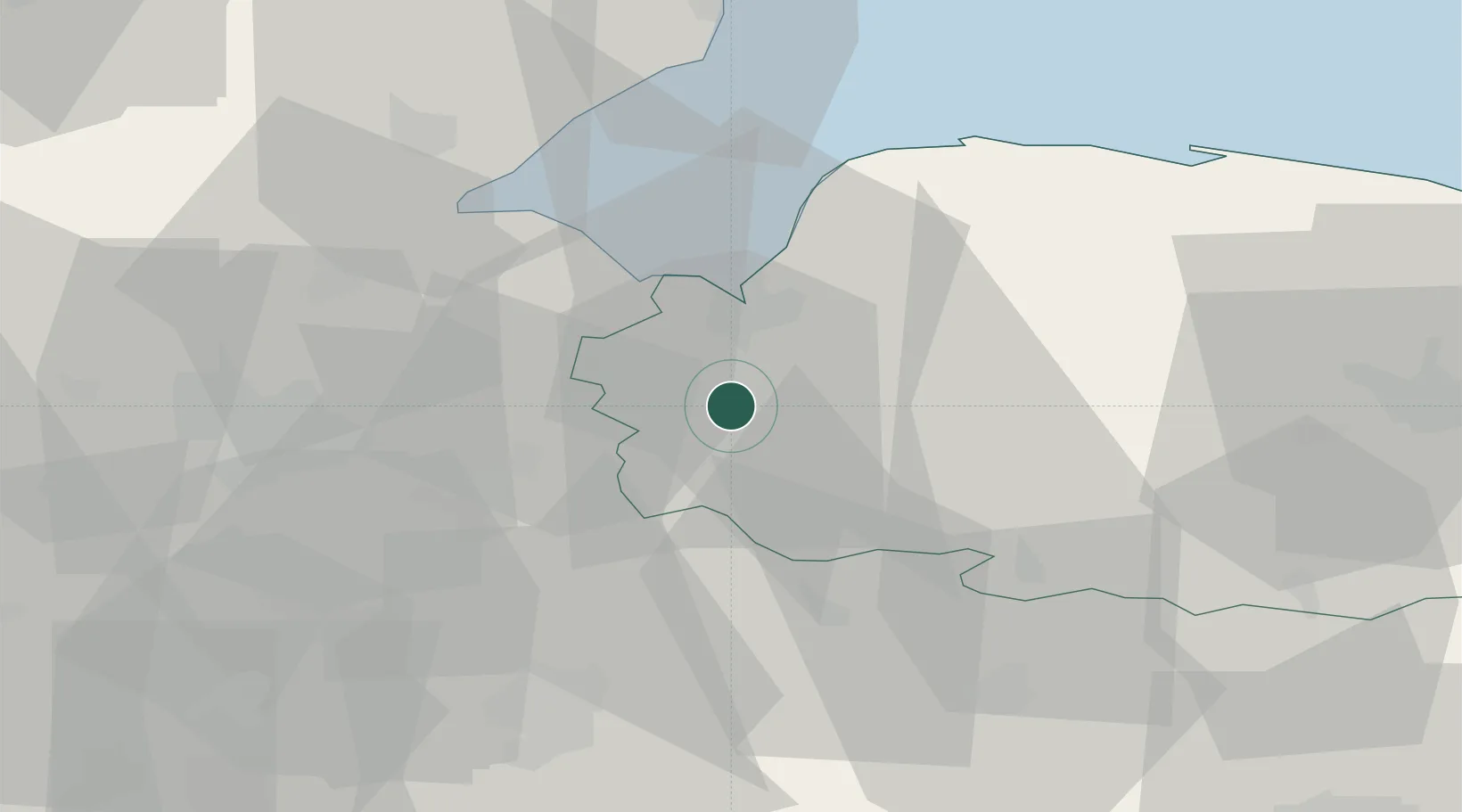
Place type
Populated place
Region
England
Population
386
Time zone
Europe/London
Elevation
5 m
Location
Nearby Logistics Neighbours
Cities
- 1Marshland Saint James9 km
- 2King's Lynn13 km
- 3Sutton Bridge19 km
- 4Manea21 km
- 5Littleport21 km
Ports
- 1King's Lynn13 km
- 2Wisbech15 km
- 3Boston45 km
- 4Ipswich85 km
- 5Colchester91 km
Airports
- 1RAF Marham13 km
- 2RAF Lakenheath28 km
- 3RAF Mildenhall31 km
- 4RAF Honington42 km
- 5Cambridge City Airport49 km
Trade Zones
DatabookThe Record of Consolidated Knowledge
United Kingdom beyond logistics?