Transport Functions
Rail
Road
Multimodal
Hub Profile
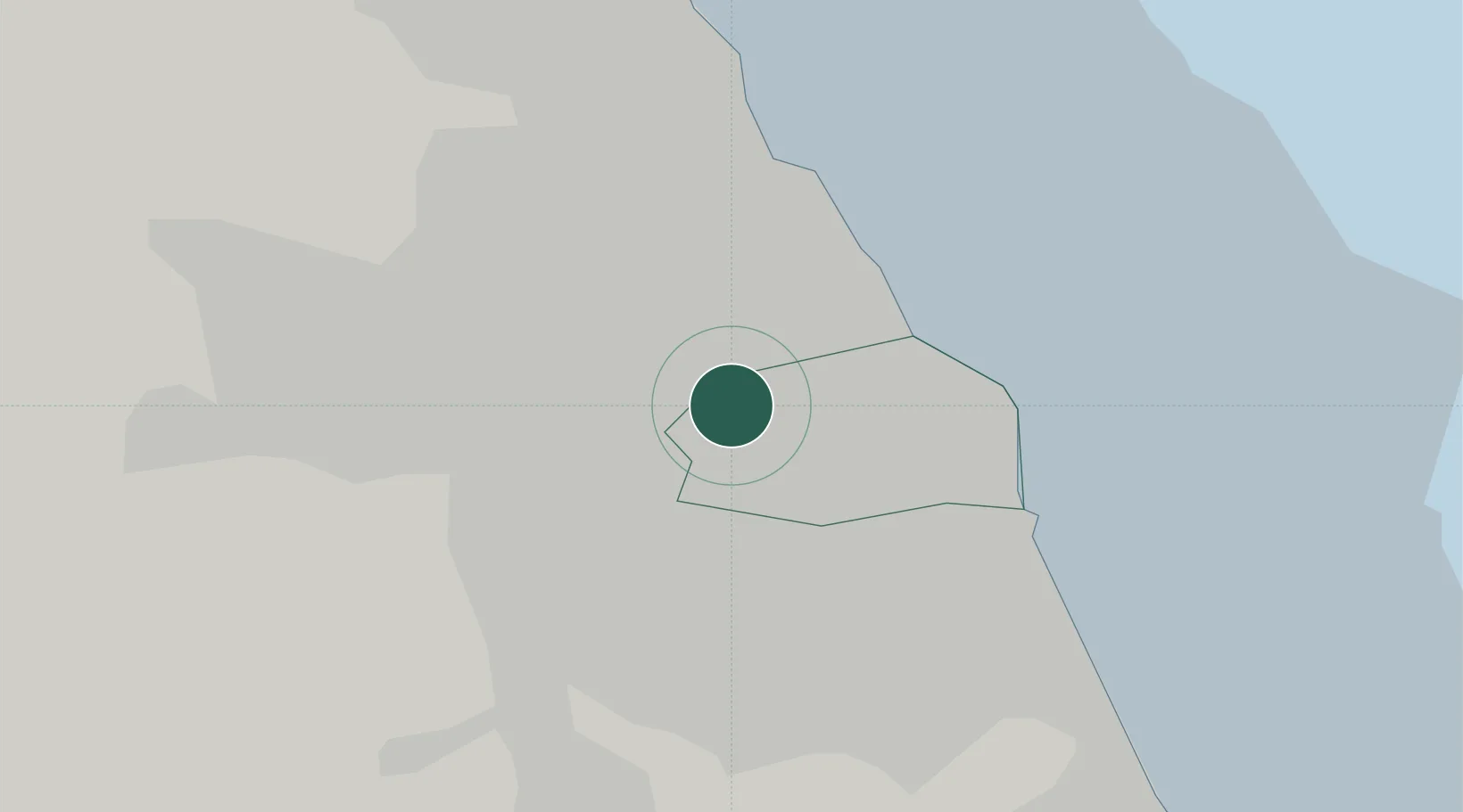
Place type
Urban district
Region
England
Time zone
Europe/London
Elevation
33 m
Location
Nearby Logistics Neighbours
Cities
- 1Hebburn1 km
- 2Wallsend3 km
- 3Howdon3 km
- 4South Shields4 km
- 5Jarrow4 km
Ports
- 1Tynemouth7 km
- 2Sunderland10 km
- 3Blyth17 km
- 4Seaham19 km
- 5Hartlepool36 km
Airports
- 1Newcastle International Airport15 km
- 2Teesside International Airport51 km
- 3RAF Spadeadam68 km
- 4RAF Leeming75 km
- 5Carlisle Lake District Airport84 km
Trade Zones
DatabookThe Record of Consolidated Knowledge
United Kingdom beyond logistics?