Transport Functions
Port
Hub Profile
Region
NET
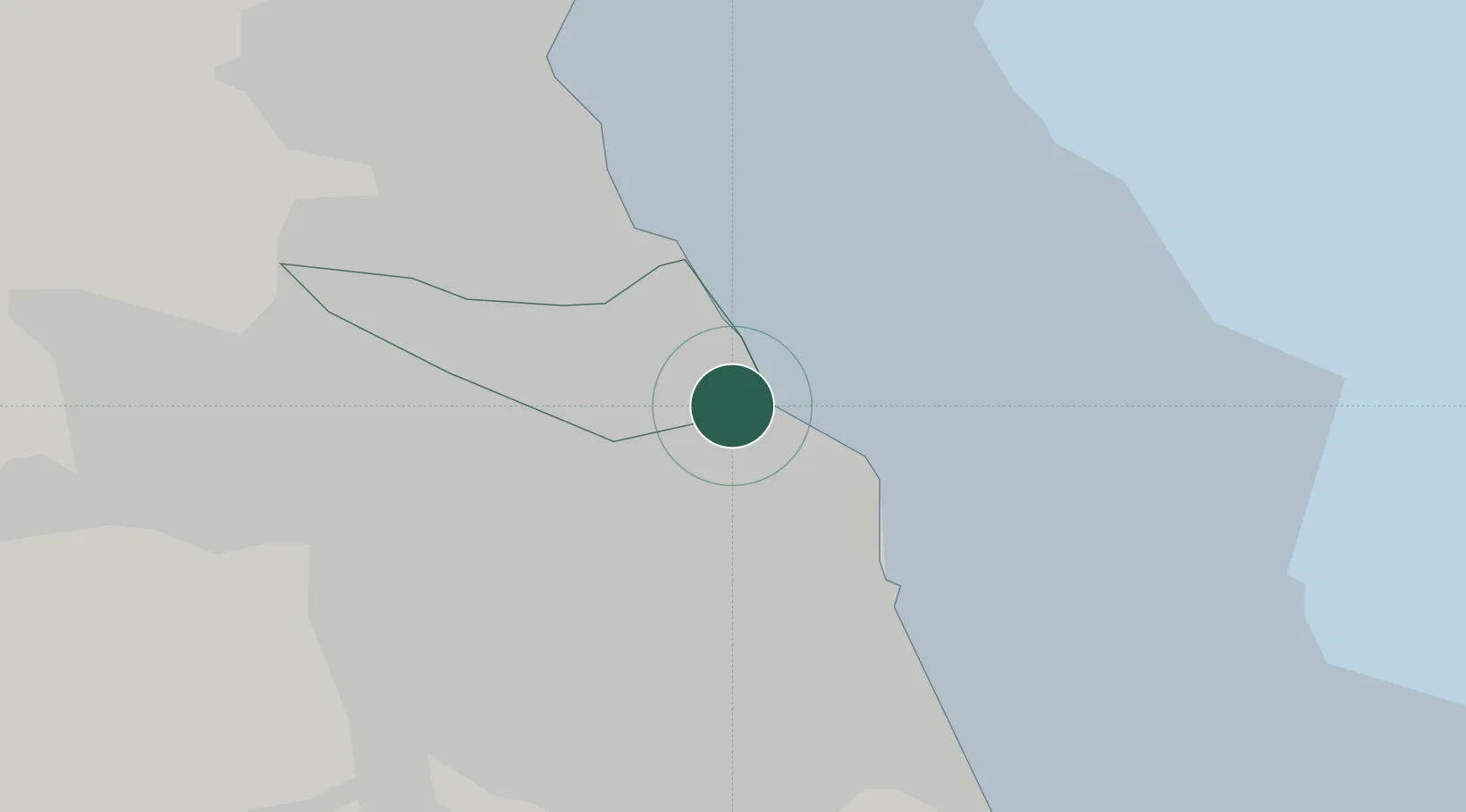
Location
Nearby Logistics Neighbours
Cities
- 1Tynemouth2 km
- 2North Shields2 km
- 3Jarrow2 km
- 4South Shields2 km
- 5Howdon3 km
Ports
- 1Tynemouth2 km
- 2Sunderland10 km
- 3Blyth14 km
- 4Seaham20 km
- 5Hartlepool37 km
Airports
- 1Newcastle International Airport17 km
- 2Teesside International Airport55 km
- 3RAF Spadeadam71 km
- 4RAF Leeming78 km
- 5Carlisle Lake District Airport88 km
Trade Zones
DatabookThe Record of Consolidated Knowledge
United Kingdom beyond logistics?