UN/LOCODE hub · United Kingdom
GBPPK
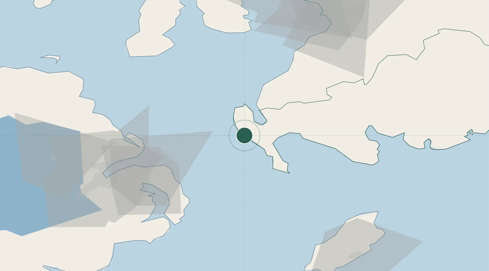
Portpatrick
54.8500°, -5.1167°
620
Population
2
Transport functions
Transport Functions
Port
Road
Hub Profile
Place type
Populated place
Region
Scotland
Population
620
Time zone
Europe/London
Elevation
6 m
Location
Nearby Logistics Neighbours
Cities
- 1Stranraer8 km
- 2Cairnryan15 km
- 3Loch Ryan Pt16 km
- 4Glenluce18 km
- 5Port Logan20 km
Airports
Trade Zones
DatabookThe Record of Consolidated Knowledge
United Kingdom beyond logistics?