UN/LOCODE hub · United Kingdom
GBLRP

Loch Ryan Pt

54.9833°, -5.0333°
1
Transport functions

Transport Functions

Port
UN/LOCODE

Hub Profile

Region
DGY
GeoNames

Location

Location of GBLRP
Natural Earth 10m (public domain) · DGY · GBLRP · 54.98, -5.03GoogleOSMYandex

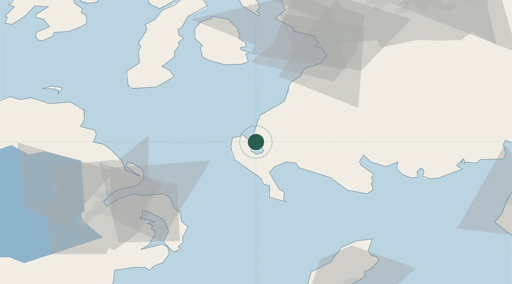
Nearby Logistics Neighbours

Cities
  1. 1Cairnryan2 km
  2. 2Stranraer9 km
  3. 3Ballantrae12 km
  4. 4Portpatrick16 km
  5. 5Glenluce18 km
Nearest neighbours — logibook spatial index (haversine) over the source coordinates
Ports
  1. 1Stranraer9 km
  2. 2Larne51 km
  3. 3Kilroot52 km
  4. 4Bangor55 km
  5. 5Ayr59 km
Nearest neighbours — logibook spatial index (haversine) over the source coordinates
Airports
  1. 1Glasgow Prestwick Airport65 km
  2. 2Campbeltown Airport65 km
  3. 3George Best Belfast City Airport67 km
  4. 4Belfast International Airport84 km
  5. 5Isle of Man Airport104 km
Nearest neighbours — logibook spatial index (haversine) over the source coordinates
Trade Zones
  1. 1Prestwick Airport Free Zone64 km
  2. 2Isle of Man Free Zone and Business Park103 km
  3. 3Carlisle Kingmoor Park Enterprise Zone132 km
  4. 4Blackpool Enterprise Zone187 km
  5. 5Hillhouse Enterprise Zone190 km
Nearest neighbours — logibook spatial index (haversine) over the source coordinates
DatabookThe Record of Consolidated Knowledge
United Kingdom beyond logistics?
Browse databook

All Sources

LocationsUN/LOCODE
UN/LOCODE — free
Portsthe NGA World Port Index
Public domain (US gov)
AirportsOurAirports
Public domain
Trade Zonesthe World Bank SEZ database
CC BY 4.0
Trade ZonesOpen Zone Map
CC BY
← United Kingdom locations