Transport Functions
Port
Road
Hub Profile
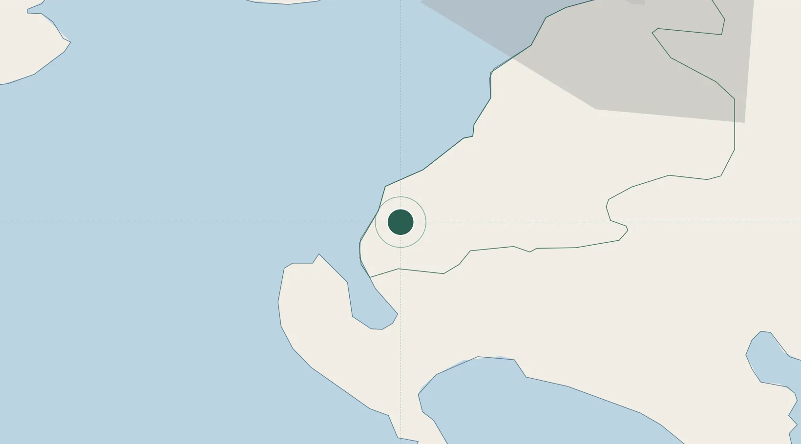
Place type
Populated place
Region
Scotland
Time zone
Europe/London
Elevation
4 m
Location
Nearby Logistics Neighbours
Cities
- 1Loch Ryan Pt12 km
- 2Cairnryan13 km
- 3Girvan18 km
- 4Stranraer21 km
- 5Glenluce26 km
Ports
- 1Stranraer21 km
- 2Ayr48 km
- 3Lamlash Harbor51 km
- 4Campbeltown55 km
- 5Troon55 km
Airports
- 1Glasgow Prestwick Airport53 km
- 2Campbeltown Airport59 km
- 3George Best Belfast City Airport77 km
- 4Belfast International Airport92 km
- 5Glasgow Airport94 km
Trade Zones
DatabookThe Record of Consolidated Knowledge
United Kingdom beyond logistics?