UN/LOCODE hub · United Kingdom
GBSTR
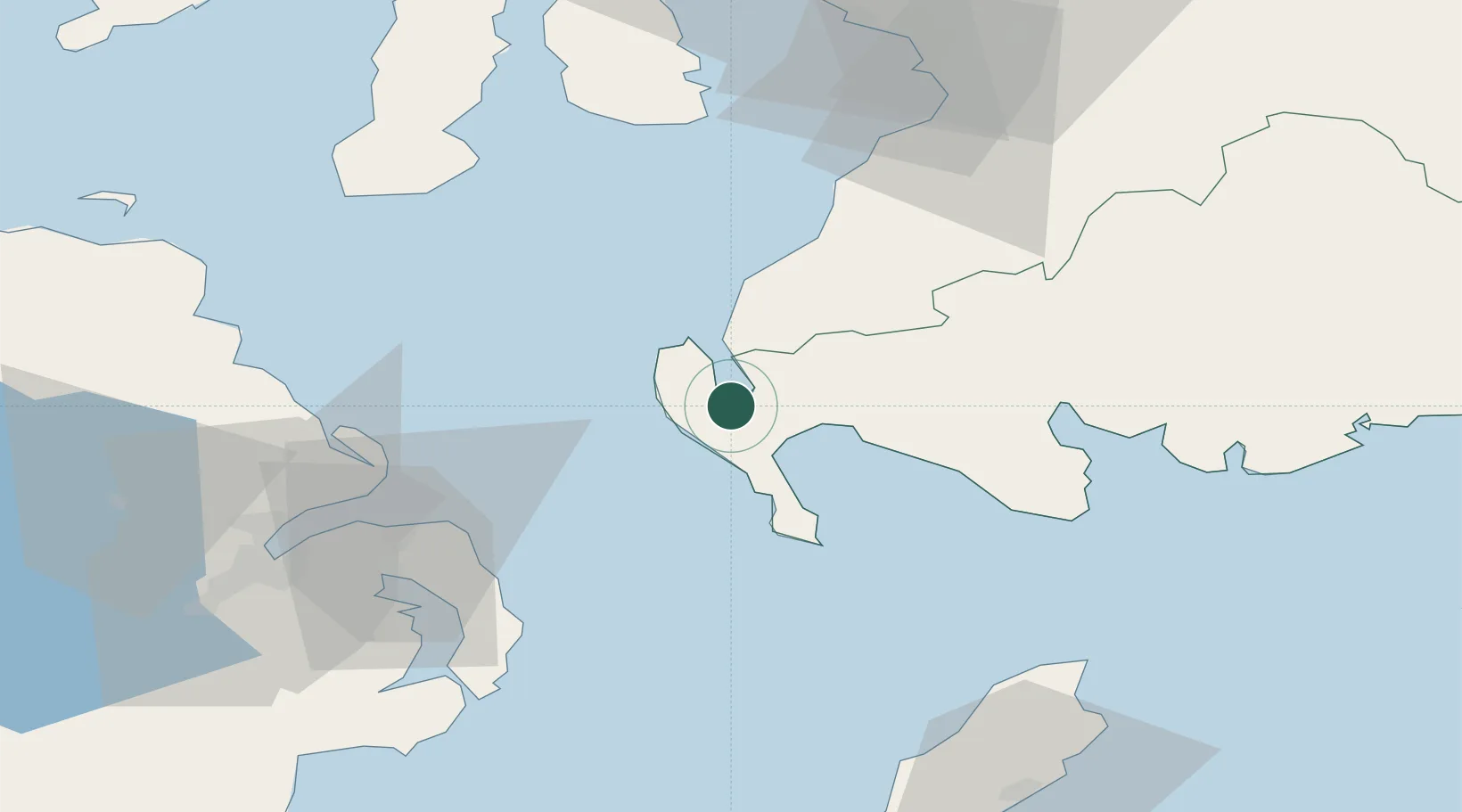
Stranraer
54.9000°, -5.0333°
10,510
Population
1
Transport functions
Transport Functions
Port
Hub Profile
Place type
Populated place
Region
Scotland
Population
10,510
Time zone
Europe/London
Elevation
12 m
Location
Nearby Logistics Neighbours
Cities
- 1Cairnryan8 km
- 2Portpatrick8 km
- 3Loch Ryan Pt9 km
- 4Glenluce13 km
- 5Ballantrae21 km
Airports
Trade Zones
DatabookThe Record of Consolidated Knowledge
United Kingdom beyond logistics?