UN/LOCODE hub · United Kingdom
GBWAB
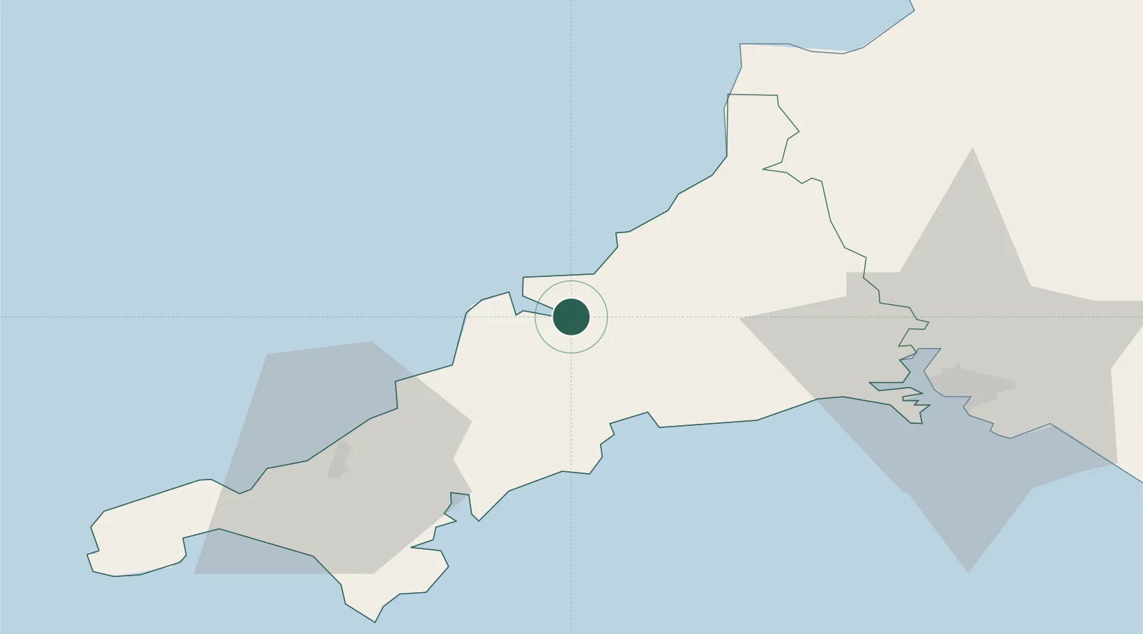
Wadebridge
50.5167°, -4.8333°
6,599
Population
2
Transport functions
Transport Functions
Port
Road
Hub Profile
Place type
Populated place
Region
England
Population
6,599
Time zone
Europe/London
Elevation
3 m
Location
Nearby Logistics Neighbours
Cities
- 1Saint Minver4 km
- 2Rock5 km
- 3Port Isaac8 km
- 4Port Gaverne9 km
- 5Saint Columb Major13 km
Ports
- 1Padstow8 km
- 2Par21 km
- 3Charlestown21 km
- 4Fowey Harbour25 km
- 5Mevagissey28 km
Airports
- 1Cornwall Airport Newquay14 km
- 2RNAS Culdrose57 km
- 3Hartland Point Heliport60 km
- 4Penzance Heliport65 km
- 5Lundy Island Helipad73 km
Trade Zones
DatabookThe Record of Consolidated Knowledge
United Kingdom beyond logistics?