Transport Functions
Port
Hub Profile
Place type
Populated place
Region
England
Time zone
Europe/London
Elevation
56 m
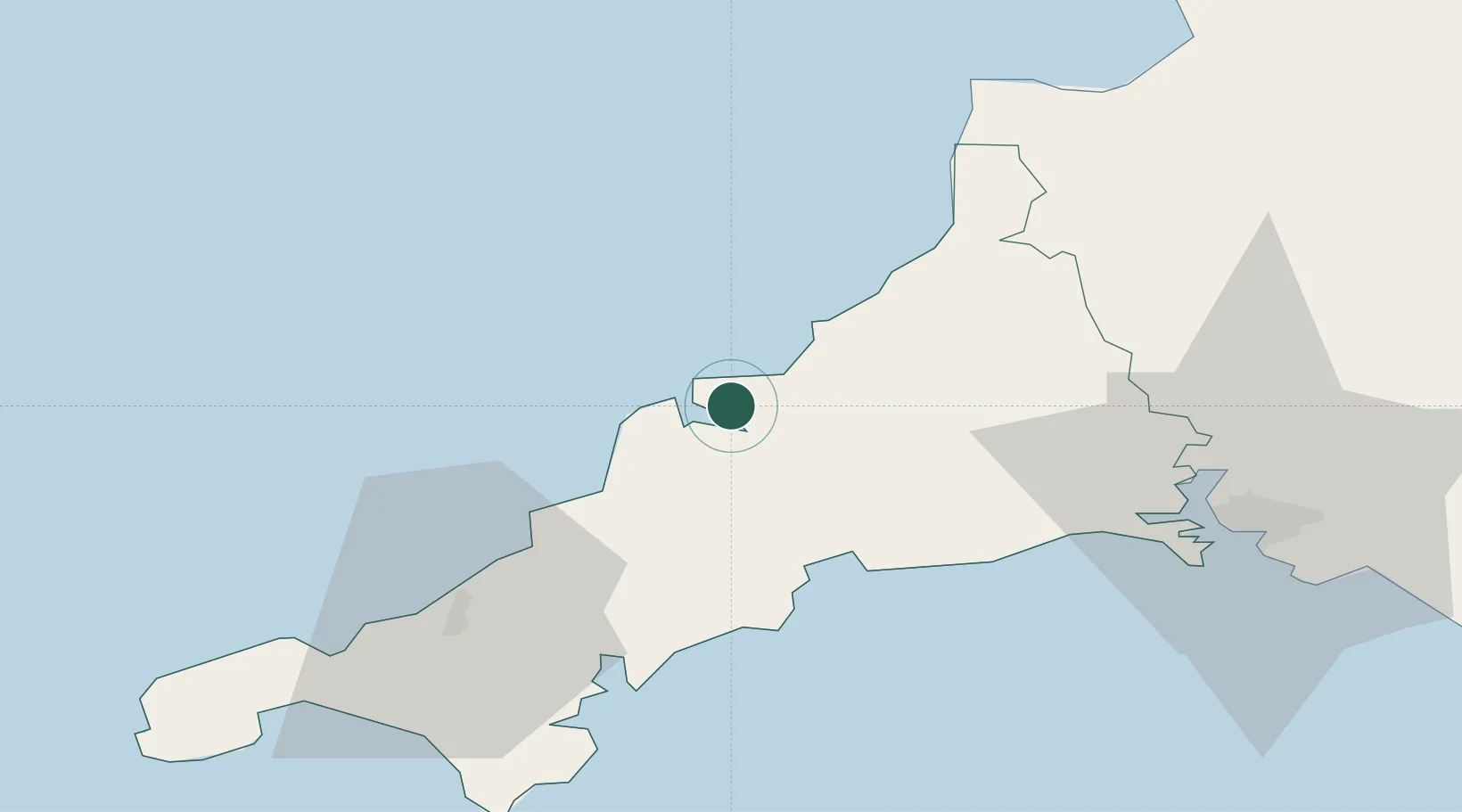
Location
Nearby Logistics Neighbours
Cities
- 1Rock3 km
- 2Wadebridge4 km
- 3Port Isaac5 km
- 4Port Gaverne7 km
- 5Saint Columb Major16 km
Ports
- 1Padstow5 km
- 2Par25 km
- 3Charlestown26 km
- 4Fowey Harbour29 km
- 5Mevagissey32 km
Airports
- 1Cornwall Airport Newquay15 km
- 2Hartland Point Heliport58 km
- 3RNAS Culdrose59 km
- 4Penzance Heliport66 km
- 5Lundy Island Helipad70 km
Trade Zones
DatabookThe Record of Consolidated Knowledge
United Kingdom beyond logistics?