UN/LOCODE hub · United Kingdom
GBPTB

Port Talbot

51.6000°, -3.7833°
1
Transport functions

Transport Functions

Port
Port Talbot is also a profiled seaport →
UN/LOCODE

Hub Profile

Place type
Provincial seat
GeoNames
Region
Wales
GeoNames
Time zone
Europe/London
GeoNames
Elevation
10 m
GeoNames

Location

Location of GBPTB
Natural Earth 10m (public domain) · Wales · GBPTB · 51.60, -3.78GoogleOSMYandex

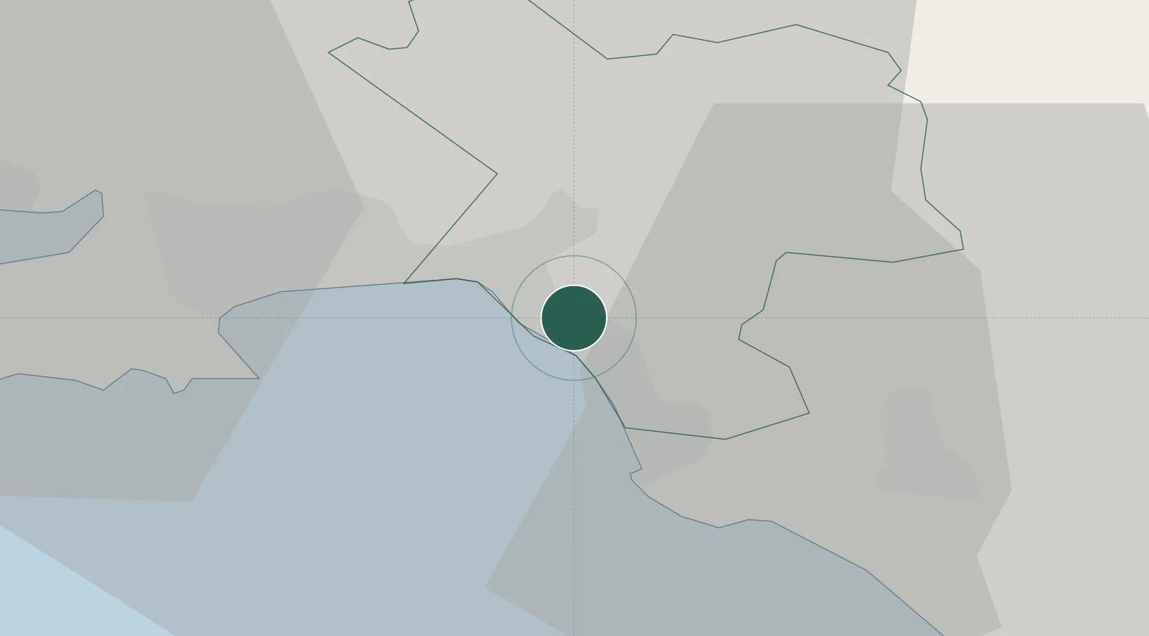
Nearby Logistics Neighbours

Cities
  1. 1Briton Ferry4 km
  2. 2Neath6 km
  3. 3Llansamlet9 km
  4. 4Landore10 km
  5. 5Swansea13 km
Nearest neighbours — logibook spatial index (haversine) over the source coordinates
Ports
  1. 1Neath5 km
  2. 2Swansea12 km
  3. 3Barry42 km
  4. 4Cardiff46 km
  5. 5Newport56 km
Nearest neighbours — logibook spatial index (haversine) over the source coordinates
Airports
  1. 1Swansea Airport20 km
  2. 2MOD St Athan33 km
  3. 3Cardiff International Airport38 km
  4. 4Royal Marines Base Chivenor63 km
  5. 5Bristol Airport78 km
Nearest neighbours — logibook spatial index (haversine) over the source coordinates
Trade Zones
  1. 1Ceramics Valley83 km
  2. 2Bristol Temple Quarter Enterprise Zone85 km
  3. 3Hereford Enterprise Zone90 km
  4. 4Exeter & East Devon Enterprise Zone99 km
  5. 5Heart of the South West Enterprise Zone136 km
Nearest neighbours — logibook spatial index (haversine) over the source coordinates
DatabookThe Record of Consolidated Knowledge
United Kingdom beyond logistics?
Browse databook

All Sources

LocationsUN/LOCODE
UN/LOCODE — free
Portsthe NGA World Port Index
Public domain (US gov)
AirportsOurAirports
Public domain
Trade Zonesthe World Bank SEZ database
CC BY 4.0
Trade ZonesOpen Zone Map
CC BY
← United Kingdom locations