Transport Functions
Port
Rail
Road
Hub Profile
Place type
Populated place
Region
Wales
Population
46,126
Time zone
Europe/London
Elevation
13 m
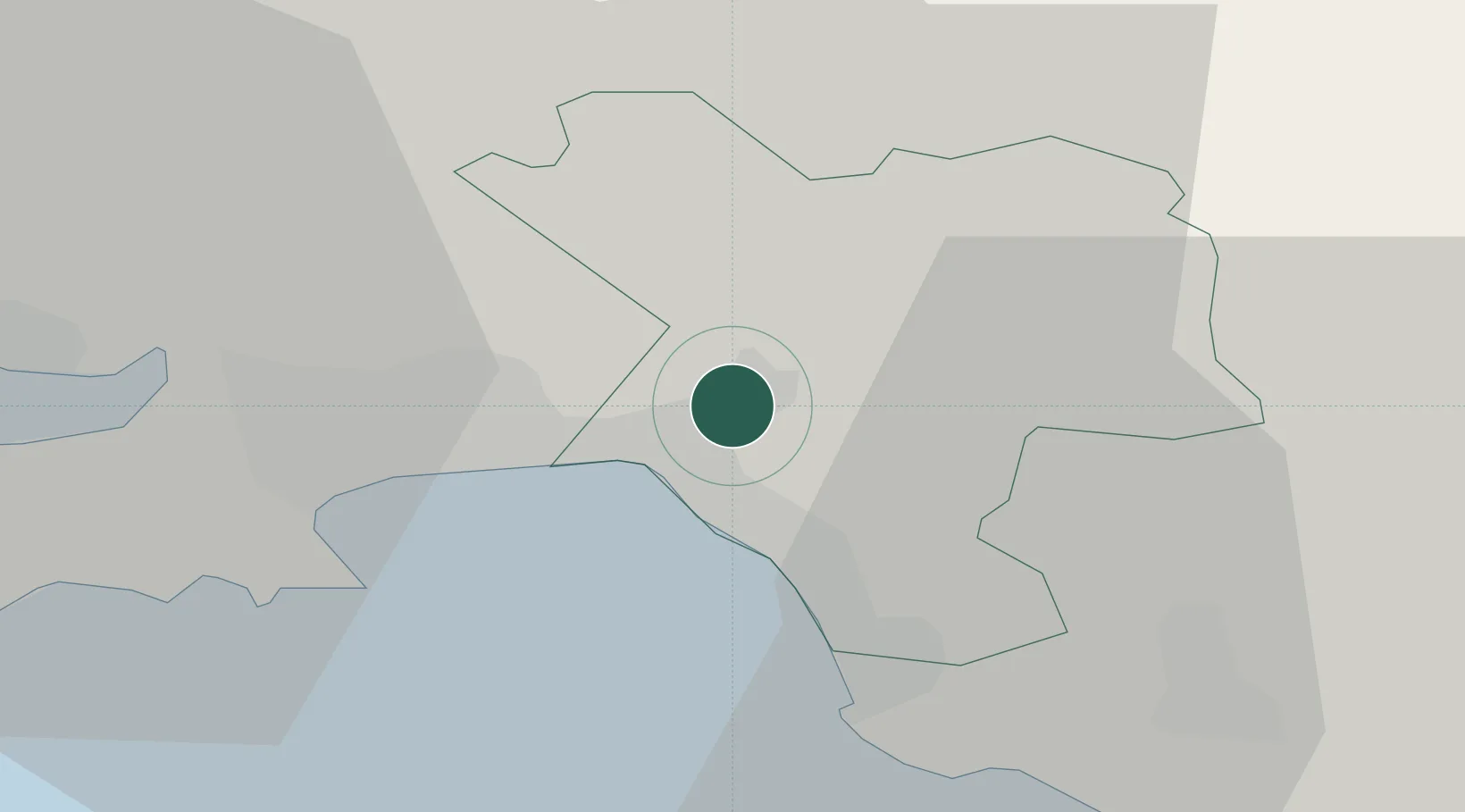
Location
Nearby Logistics Neighbours
Cities
- 1Briton Ferry2 km
- 2Port Talbot6 km
- 3Llansamlet6 km
- 4Landore8 km
- 5Swansea12 km
Ports
- 1Port Talbot8 km
- 2Swansea11 km
- 3Barry46 km
- 4Cardiff49 km
- 5Newport58 km
Airports
- 1Swansea Airport20 km
- 2MOD St Athan37 km
- 3Cardiff International Airport42 km
- 4Royal Marines Base Chivenor67 km
- 5Bristol Airport81 km
Trade Zones
DatabookThe Record of Consolidated Knowledge
United Kingdom beyond logistics?