Transport Functions
Port
Rail
Road
Hub Profile
Place type
Populated place
Region
Scotland
Time zone
Europe/London
Elevation
52 m
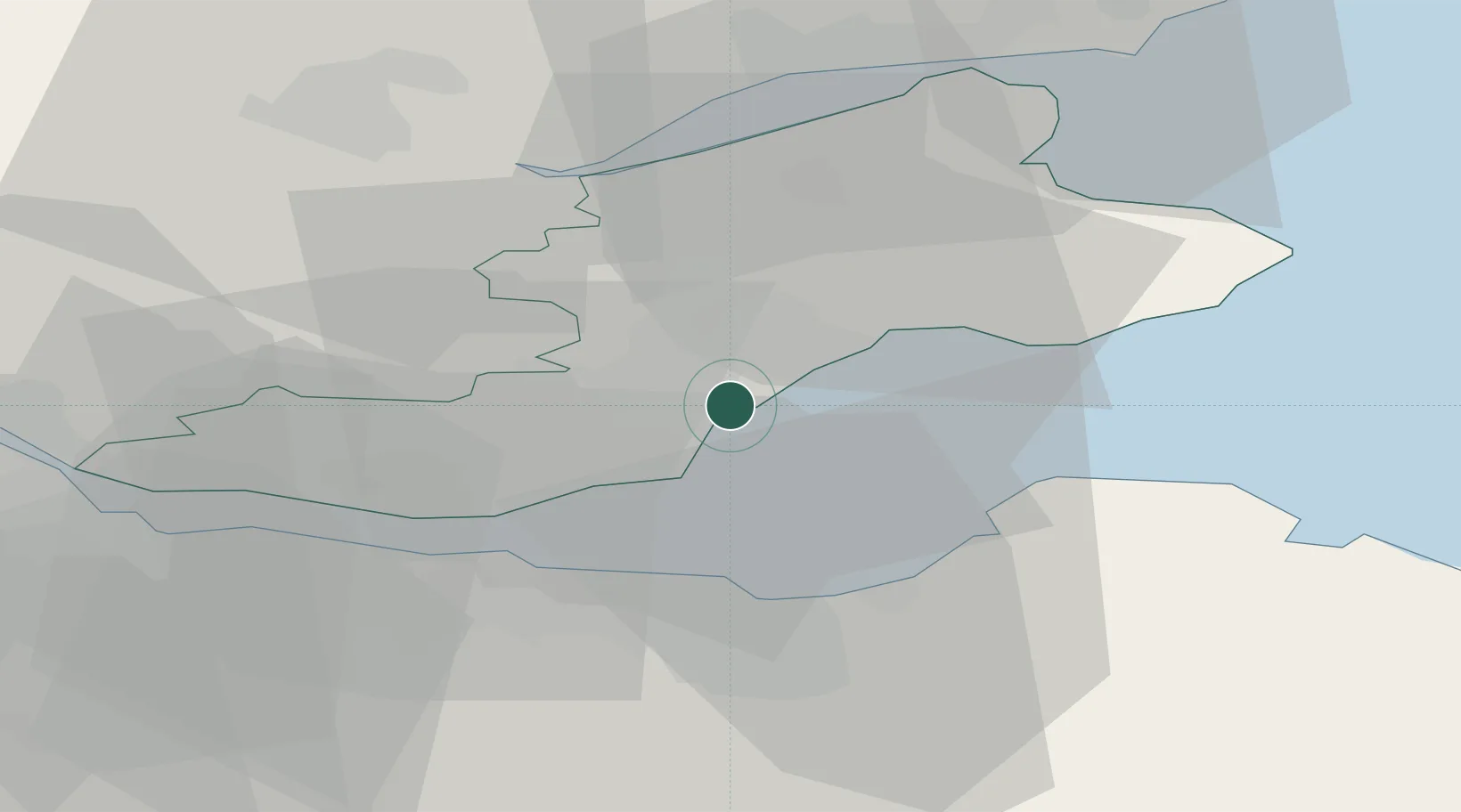
Location
Nearby Logistics Neighbours
Cities
- 1West Wemyss2 km
- 2Kirkcaldy3 km
- 3Kinghorn8 km
- 4Methil8 km
- 5Pettycur9 km
Ports
- 1Methil9 km
- 2Burntisland12 km
- 3Braefoot Bay Terminal17 km
- 4Leith17 km
- 5Granton18 km
Airports
- 1Edinburgh Airport26 km
- 2Leuchars Station Airfield31 km
- 3Dundee Airport36 km
- 4Glasgow Airport87 km
- 5Glasgow Prestwick Airport115 km
Trade Zones
DatabookThe Record of Consolidated Knowledge
United Kingdom beyond logistics?