UN/LOCODE hub · United Kingdom
GBKKD
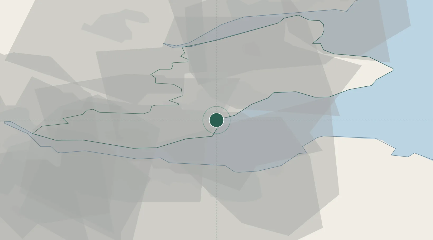
Kirkcaldy
56.1167°, -3.1500°
49,460
Population
1
Transport functions
Transport Functions
Port
Hub Profile
Place type
Populated place
Region
Scotland
Population
49,460
Time zone
Europe/London
Elevation
39 m
Location
Nearby Logistics Neighbours
Cities
- 1Dysart3 km
- 2West Wemyss5 km
- 3Kinghorn6 km
- 4Pettycur6 km
- 5Burntisland8 km
Ports
- 1Burntisland9 km
- 2Methil12 km
- 3Braefoot Bay Terminal14 km
- 4Leith15 km
- 5Granton15 km
Airports
- 1Edinburgh Airport23 km
- 2Leuchars Station Airfield34 km
- 3Dundee Airport38 km
- 4Glasgow Airport84 km
- 5Glasgow Prestwick Airport112 km
Trade Zones
DatabookThe Record of Consolidated Knowledge
United Kingdom beyond logistics?