UN/LOCODE hub · United Kingdom
GBMTH

Methil

56.1833°, -3.0167°
11,160
Population
1
Transport functions

Transport Functions

Port
Methil is also a profiled seaport →
UN/LOCODE

Hub Profile

Place type
Populated place
GeoNames
Region
Scotland
GeoNames
Population
11,160
GeoNames
Time zone
Europe/London
GeoNames
Elevation
26 m
GeoNames

Location

Location of GBMTH
Natural Earth 10m (public domain) · Scotland · GBMTH · 56.18, -3.02GoogleOSMYandex

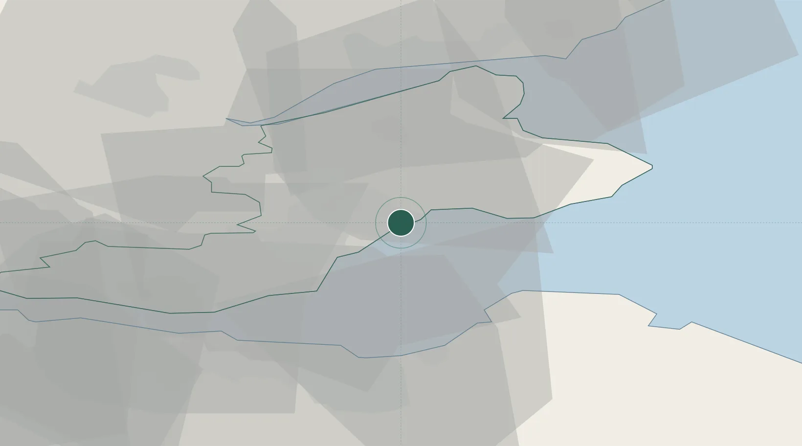
Nearby Logistics Neighbours

Cities
  1. 1Largo6 km
  2. 2West Wemyss7 km
  3. 3Dysart8 km
  4. 4Kirkcaldy11 km
  5. 5Elie13 km
Nearest neighbours — logibook spatial index (haversine) over the source coordinates
Ports
  1. 1Burntisland20 km
  2. 2Leith25 km
  3. 3Braefoot Bay Terminal25 km
  4. 4Granton26 km
  5. 5Hound Point Terminal30 km
Nearest neighbours — logibook spatial index (haversine) over the source coordinates
Airports
  1. 1Leuchars Station Airfield23 km
  2. 2Dundee Airport30 km
  3. 3Edinburgh Airport34 km
  4. 4Glasgow Airport95 km
  5. 5Glasgow Prestwick Airport123 km
Nearest neighbours — logibook spatial index (haversine) over the source coordinates
Trade Zones
  1. 1Prestwick Airport Free Zone125 km
  2. 2Carlisle Kingmoor Park Enterprise Zone139 km
  3. 3North Eastern Enterprise Zone161 km
  4. 4Tees Valley Enterprise Zone211 km
  5. 5Isle of Man Free Zone and Business Park254 km
Nearest neighbours — logibook spatial index (haversine) over the source coordinates
DatabookThe Record of Consolidated Knowledge
United Kingdom beyond logistics?
Browse databook

All Sources

LocationsUN/LOCODE
UN/LOCODE — free
LocationsGeoNames
CC BY 4.0
Portsthe NGA World Port Index
Public domain (US gov)
AirportsOurAirports
Public domain
Trade Zonesthe World Bank SEZ database
CC BY 4.0
Trade ZonesOpen Zone Map
CC BY
← United Kingdom locations