UN/LOCODE hub · United Kingdom
GBDSA
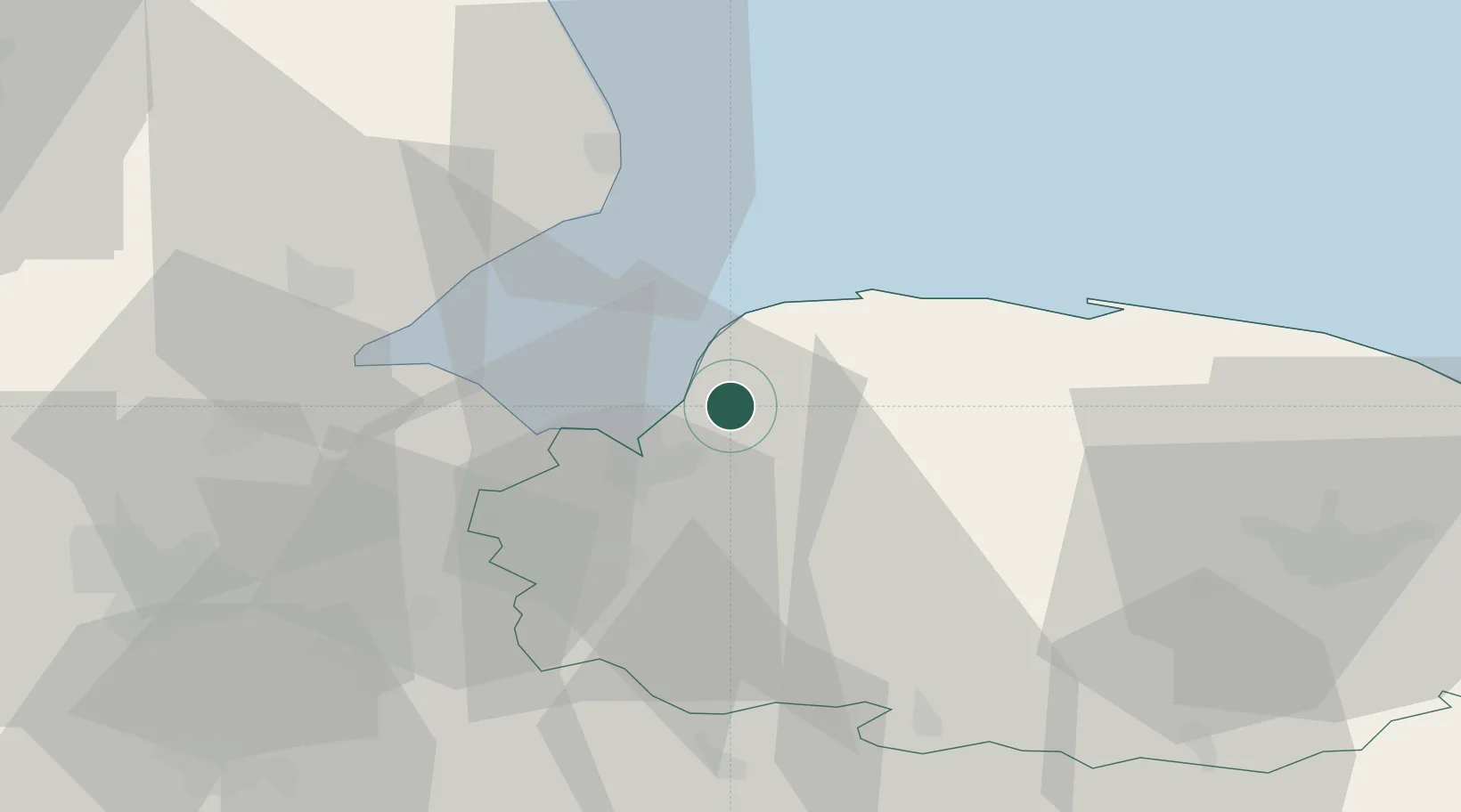
Dersingham
52.8333°, 0.5000°
4,640
Population
2
Transport functions
Transport Functions
Road
Multimodal
Hub Profile
Place type
Populated place
Region
England
Population
4,640
Time zone
Europe/London
Elevation
13 m
Location
Nearby Logistics Neighbours
Cities
- 1Docking11 km
- 2King's Lynn12 km
- 3Great Massingham13 km
- 4Brancaster Staithe19 km
- 5Bexwell22 km
Ports
- 1King's Lynn11 km
- 2Wisbech30 km
- 3Boston38 km
- 4Great Yarmouth87 km
- 5Grimsby92 km
Airports
- 1RAF Marham21 km
- 2RAF Lakenheath47 km
- 3RAF Mildenhall52 km
- 4RAF Coningsby53 km
- 5Norwich Airport56 km
Trade Zones
DatabookThe Record of Consolidated Knowledge
United Kingdom beyond logistics?