UN/LOCODE hub · United Kingdom
GBMSI
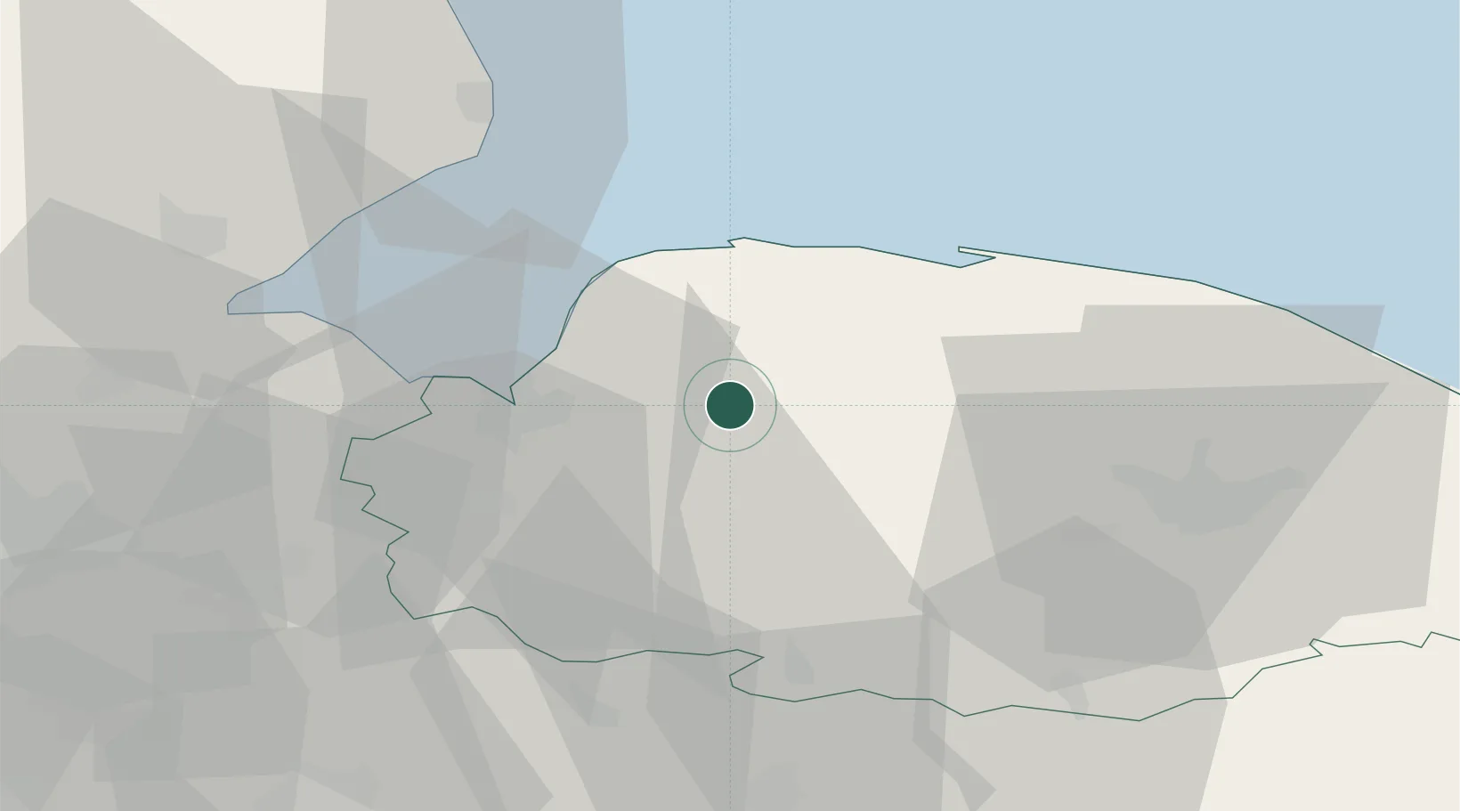
Great Massingham
52.7667°, 0.6667°
902
Population
1
Transport functions
Transport Functions
Port
Hub Profile
Place type
Populated place
Region
England
Population
902
Time zone
Europe/London
Elevation
81 m
Location
Nearby Logistics Neighbours
Cities
- 1Dersingham13 km
- 2Docking15 km
- 3King's Lynn19 km
- 4Dereham20 km
- 5Brancaster Staithe22 km
Ports
- 1King's Lynn18 km
- 2Wisbech37 km
- 3Boston51 km
- 4Great Yarmouth74 km
- 5Lowestoft80 km
Airports
- 1RAF Marham15 km
- 2RAF Lakenheath40 km
- 3Norwich Airport43 km
- 4RAF Mildenhall47 km
- 5RAF Honington48 km
Trade Zones
DatabookThe Record of Consolidated Knowledge
United Kingdom beyond logistics?