Medium airport · United Kingdom
RAF HoningtonEGXH
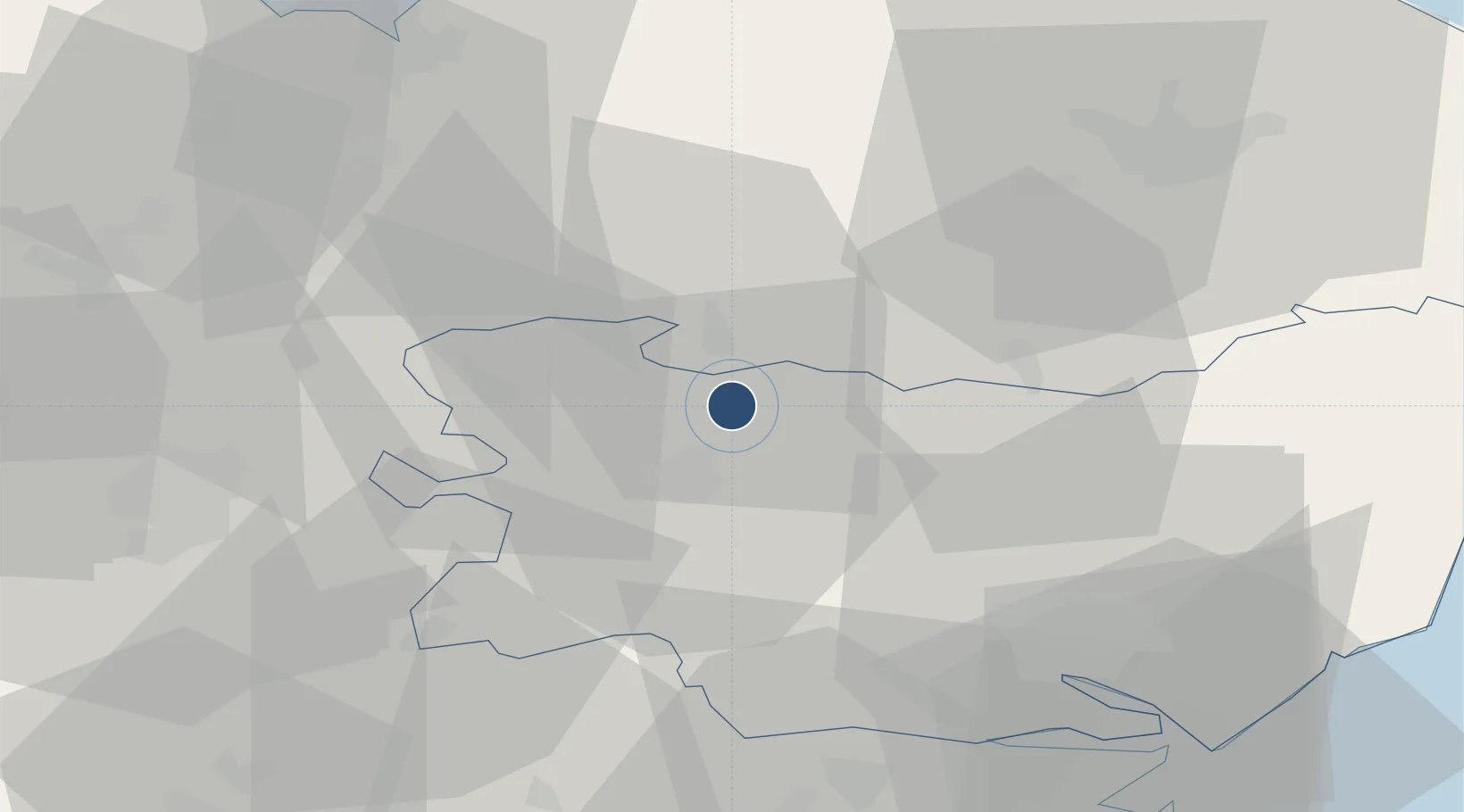
52.3426°, 0.7729°
9,012 ft
Longest runway
1
Runways
174 ft
Elevation
Runway & Layout

Radio Frequencies
TWR
122.1 MHz
TWR/Common Mil
TWR
278.62 MHz
APP
123.3 MHz
RDR
128.9 MHz
LAKENHEATH RADAR
Runways · 1
| Runway | Dimensions | Surface | True heading | Lit |
|---|---|---|---|---|
| 09/27 | 9,012 × 200ft | Asphalt | 081° | ✓ |
Airport Specifications
IATA code
BEQ
ICAO code
EGXH
Airport class
Medium airport
Scheduled service
No
Runway surface
Asphalt
Served city
Bury Saint Edmunds, Suffolk
Location
Nearby Logistics Neighbours
Airports
- 1RAF Lakenheath16 km
- 2RAF Mildenhall20 km
- 3Wattisham Airfield27 km
- 4RAF Marham37 km
- 5Cambridge City Airport44 km
Cities
- 1Ingham7 km
- 2Willingham8 km
- 3Cavenham14 km
- 4Elmswell15 km
- 5Tottington19 km
Ports
- 1Ipswich42 km
- 2King's Lynn52 km
- 3Colchester52 km
- 4Wisbech56 km
- 5Harwich56 km
Trade Zones
DatabookThe Record of Consolidated Knowledge
United Kingdom beyond logistics?