Channel & Berth Profile
Pilotage, Tugs & Services
Pilotage compulsoryYES
Pilotage availableYES
Pilotage advisableYES
Tug assistanceYES
Potable waterYES
Diesel bunkersYES
MedicalYES
Garbage disposalYES
Facilities & Capabilities
Container—
Ro-Ro—
Liquid bulk—
Dry bulk—
Oil terminal—
Break bulk—
Dry dockNO
RepairsNO
BunkeringYES
Rail linkYES
Dangerous cargo—
ISPS security—
Harbour Specifications
Harbour size
Small
Harbour type
River (Natural)
Shelter
Excellent
Water body
North Sea; North Atlantic Ocean
Tidal range
2 m
Overhead limit
Yes
Pilotage
Yes
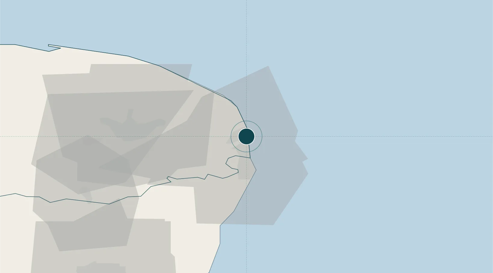
Location
Nearby Logistics Neighbours
Ports
- 1Lowestoft15 km
- 2Ipswich74 km
- 3Felixstowe79 km
- 4Harwich80 km
- 5King's Lynn91 km
Cities
- 1Caister on Sea4 km
- 2Hemsby10 km
- 3Acle13 km
- 4Reedham14 km
- 5Oulton Broad15 km
Airports
- 1Norwich Airport31 km
- 2RAF Honington72 km
- 3Wattisham Airfield76 km
- 4RAF Marham80 km
- 5RAF Lakenheath83 km
Trade Zones
DatabookThe Record of Consolidated Knowledge
United Kingdom beyond logistics?