Transport Functions
Port
Road
Hub Profile
Place type
Populated place
Region
England
Time zone
Europe/London
Elevation
32 m
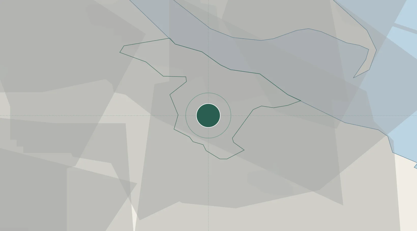
Location
Nearby Logistics Neighbours
Cities
- 1Thorganby5 km
- 2South Killingholme10 km
- 3Tetney Terminal10 km
- 4Immingham15 km
- 5Killingholme16 km
Ports
- 1Grimsby10 km
- 2Immingham16 km
- 3New Holland27 km
- 4Kingston Upon Hull30 km
- 5Goole51 km
Airports
- 1Humberside Airport17 km
- 2RAF Waddington45 km
- 3RAF Coningsby45 km
- 4RAF Cranwell58 km
- 5RAF Barkston Heath66 km
Trade Zones
DatabookThe Record of Consolidated Knowledge
United Kingdom beyond logistics?