Transport Functions
Multimodal
Hub Profile
Place type
Populated place
Region
England
Time zone
Europe/London
Elevation
20 m
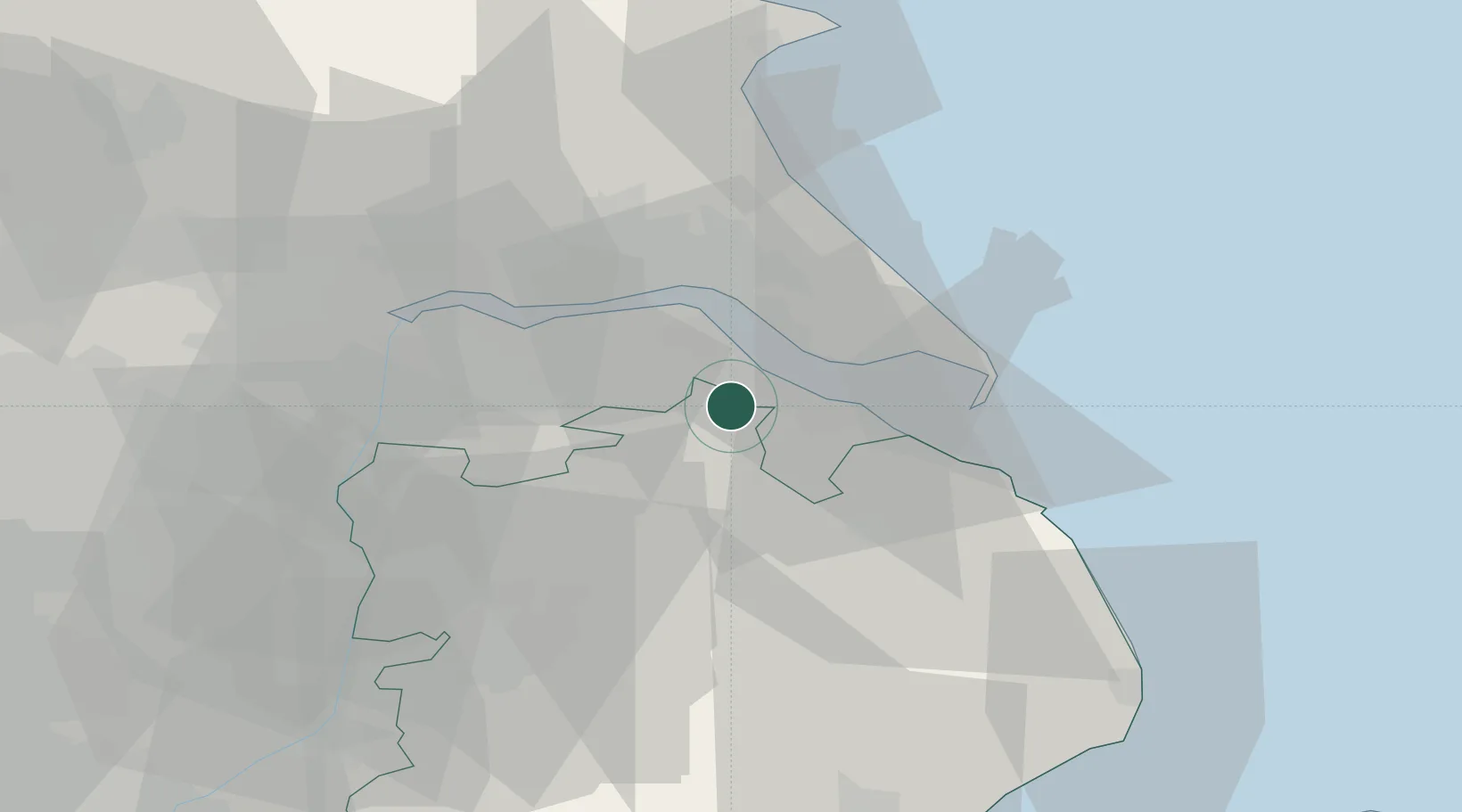
Location
Nearby Logistics Neighbours
Cities
- 1Killingholme6 km
- 2Immingham8 km
- 3North Killingholme8 km
- 4Barnoldby le Beck10 km
- 5Barnetby-le-Wold11 km
Ports
- 1Immingham8 km
- 2Grimsby11 km
- 3New Holland17 km
- 4Kingston Upon Hull21 km
- 5Goole42 km
Airports
- 1Humberside Airport8 km
- 2RAF Waddington49 km
- 3RAF Coningsby53 km
- 4RAF Cranwell62 km
- 5Leeds East Airport70 km
Trade Zones
DatabookThe Record of Consolidated Knowledge
United Kingdom beyond logistics?