UN/LOCODE hub · United Kingdom
GBGSY
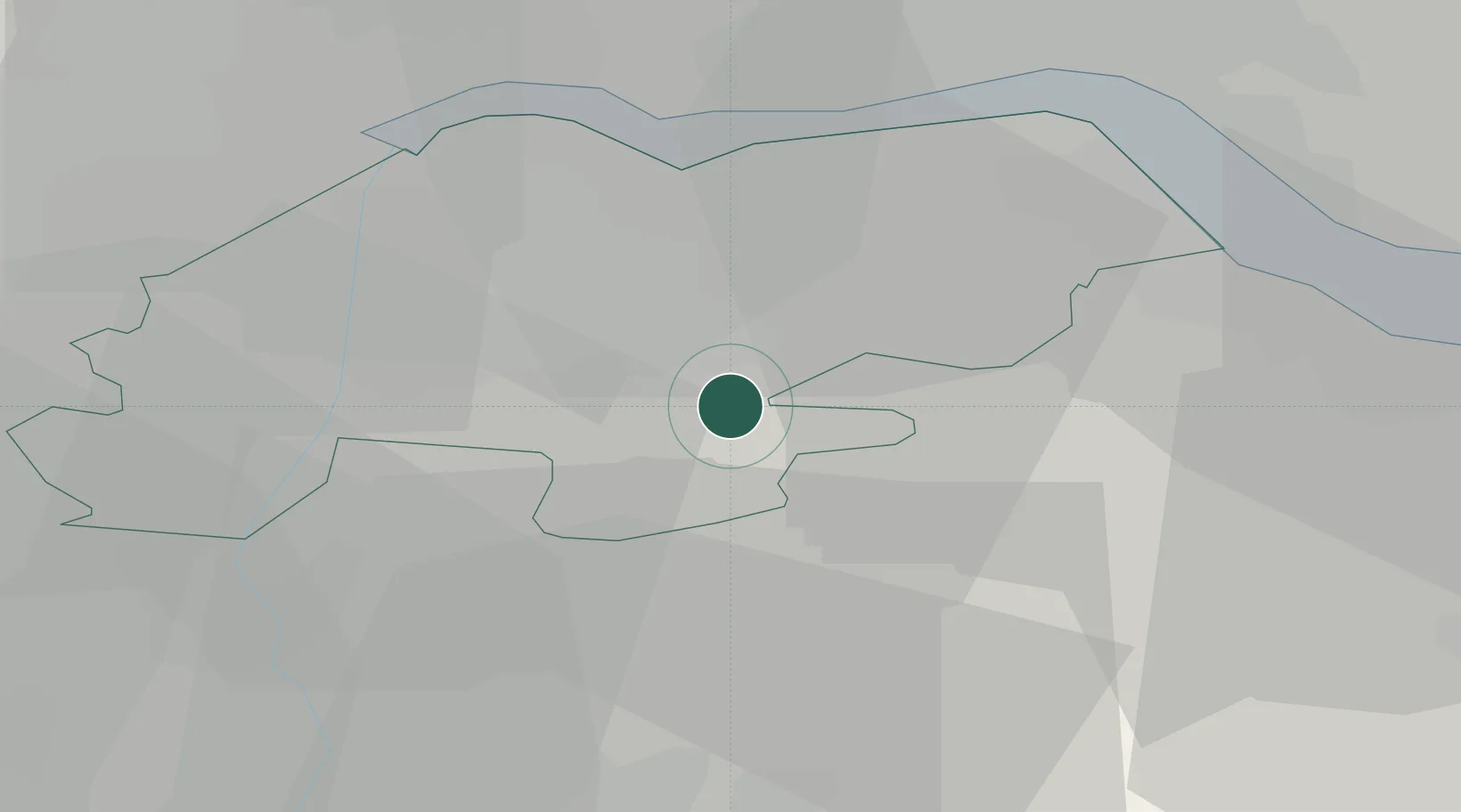
Grimsby
53.5333°, -0.5000°
86,138
Population
2
Transport functions
Transport Functions
Port
Airport
Hub Profile
Place type
Provincial seat
Region
England
Population
86,138
Time zone
Europe/London
Elevation
4 m
Location
Nearby Logistics Neighbours
Cities
- 1Barnetby-le-Wold8 km
- 2Elsham9 km
- 3Messingham10 km
- 4Scunthorpe14 km
- 5Grove Port14 km
Ports
- 1New Holland21 km
- 2Immingham23 km
- 3Kingston Upon Hull28 km
- 4Goole29 km
- 5Howdendyke34 km
Airports
- 1Humberside Airport11 km
- 2RAF Waddington41 km
- 3RAF Coningsby54 km
- 4RAF Cranwell56 km
- 5Leeds East Airport57 km
Trade Zones
DatabookThe Record of Consolidated Knowledge
United Kingdom beyond logistics?