UN/LOCODE hub · United Kingdom
GBKGH

Killingholme

53.6167°, -0.2667°
1
Transport functions

Transport Functions

Port
UN/LOCODE

Hub Profile

Region
LIN
GeoNames

Location

Location of GBKGH
Natural Earth 10m (public domain) · LIN · GBKGH · 53.62, -0.27GoogleOSMYandex

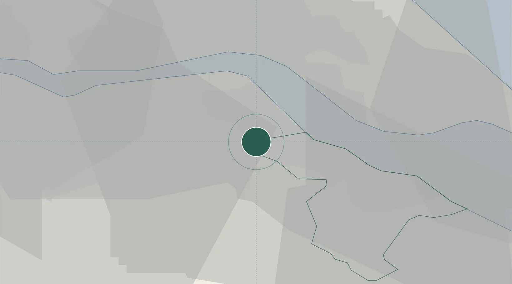
Nearby Logistics Neighbours

Cities
  1. 1North Killingholme2 km
  2. 2Immingham5 km
  3. 3South Killingholme6 km
  4. 4Goxhill7 km
  5. 5Binbrook9 km
Nearest neighbours — logibook spatial index (haversine) over the source coordinates
Ports
  1. 1Immingham5 km
  2. 2New Holland11 km
  3. 3Grimsby14 km
  4. 4Kingston Upon Hull15 km
  5. 5Goole39 km
Nearest neighbours — logibook spatial index (haversine) over the source coordinates
Airports
  1. 1Humberside Airport7 km
  2. 2RAF Waddington53 km
  3. 3RAF Coningsby59 km
  4. 4Leeds East Airport66 km
  5. 5RAF Cranwell67 km
Nearest neighbours — logibook spatial index (haversine) over the source coordinates
Trade Zones
  1. 1Humber Enterprise Zone14 km
  2. 2Humberside Free Zone18 km
  3. 3York Central Enterprise Zone66 km
  4. 4Aire Valley Leeds Enterprise Zone82 km
  5. 5Sheffield City Region Enterprise Zone83 km
Nearest neighbours — logibook spatial index (haversine) over the source coordinates
DatabookThe Record of Consolidated Knowledge
United Kingdom beyond logistics?
Browse databook

All Sources

LocationsUN/LOCODE
UN/LOCODE — free
Portsthe NGA World Port Index
Public domain (US gov)
AirportsOurAirports
Public domain
Trade Zonesthe World Bank SEZ database
CC BY 4.0
Trade ZonesOpen Zone Map
CC BY
← United Kingdom locations