Transport Functions
Port
Hub Profile
Region
LIN
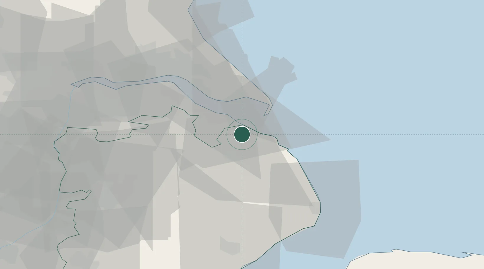
Location
Nearby Logistics Neighbours
Cities
- 1Barnoldby le Beck10 km
- 2Thorganby13 km
- 3Manby14 km
- 4South Killingholme19 km
- 5Immingham21 km
Ports
- 1Grimsby12 km
- 2Immingham22 km
- 3New Holland35 km
- 4Kingston Upon Hull36 km
- 5Boston58 km
Airports
- 1Humberside Airport26 km
- 2RAF Coningsby45 km
- 3RAF Waddington50 km
- 4RAF Cranwell61 km
- 5RAF Barkston Heath70 km
Trade Zones
DatabookThe Record of Consolidated Knowledge
United Kingdom beyond logistics?