Transport Functions
Port
Road
Hub Profile
Place type
Populated place
Region
Northern Ireland
Time zone
Europe/London
Elevation
13 m
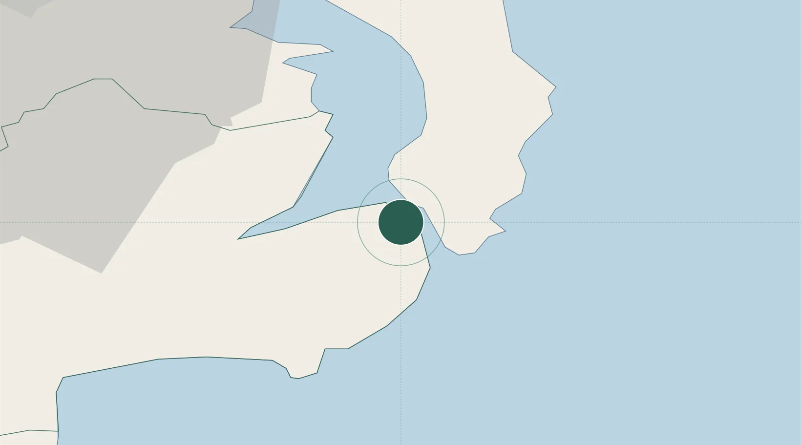
Location
Nearby Logistics Neighbours
Cities
- 1Portaferry2 km
- 2Ardkeen6 km
- 3Crossgar9 km
- 4Killyleagh10 km
- 5Ardglass12 km
Airports
- 1George Best Belfast City Airport34 km
- 2Belfast International Airport53 km
- 3Isle of Man Airport69 km
- 4Dublin Airport114 km
- 5Campbeltown Airport119 km
Trade Zones
DatabookThe Record of Consolidated Knowledge
United Kingdom beyond logistics?