UN/LOCODE hub · United Kingdom
GBAGL
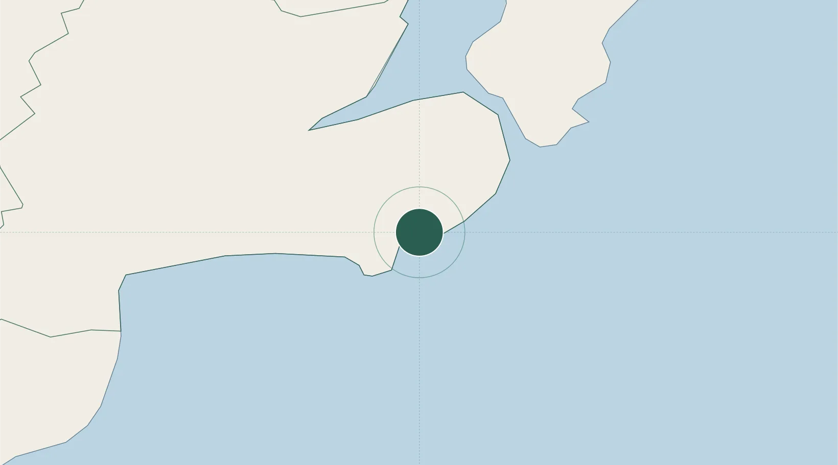
Ardglass
54.2667°, -5.6167°
1,676
Population
2
Transport functions
Transport Functions
Port
Road
Hub Profile
Place type
Populated place
Region
Northern Ireland
Population
1,676
Time zone
Europe/London
Elevation
6 m
Location
Nearby Logistics Neighbours
Cities
- 1Killough2 km
- 2Strangford12 km
- 3Portaferry14 km
- 4Crossgar16 km
- 5Killyleagh16 km
Ports
- 1Kilkeel34 km
- 2Greenore43 km
- 3Bangor43 km
- 4Belfast43 km
- 5Warren Point45 km
Airports
- 1George Best Belfast City Airport42 km
- 2Belfast International Airport58 km
- 3Isle of Man Airport68 km
- 4Dublin Airport102 km
- 5Weston Airport117 km
Trade Zones
DatabookThe Record of Consolidated Knowledge
United Kingdom beyond logistics?