UN/LOCODE hub · United Kingdom
GBSGR
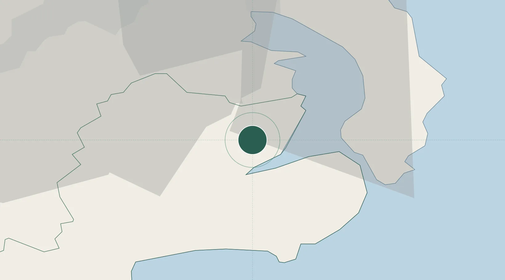
Crossgar
54.4000°, -5.7000°
1,667
Population
1
Transport functions
Transport Functions
Multimodal
Hub Profile
Place type
Populated place
Region
Northern Ireland
Population
1,667
Time zone
Europe/London
Elevation
22 m
Location
Nearby Logistics Neighbours
Cities
- 1Killyleagh1 km
- 2Strangford9 km
- 3Portaferry10 km
- 4Ballydorn10 km
- 5Ardkeen12 km
Airports
- 1George Best Belfast City Airport27 km
- 2Belfast International Airport44 km
- 3Isle of Man Airport78 km
- 4Dublin Airport114 km
- 5Campbeltown Airport115 km
Trade Zones
DatabookThe Record of Consolidated Knowledge
United Kingdom beyond logistics?