Economic Revitalization Project · France

ZFU Saint-Nazaire Active
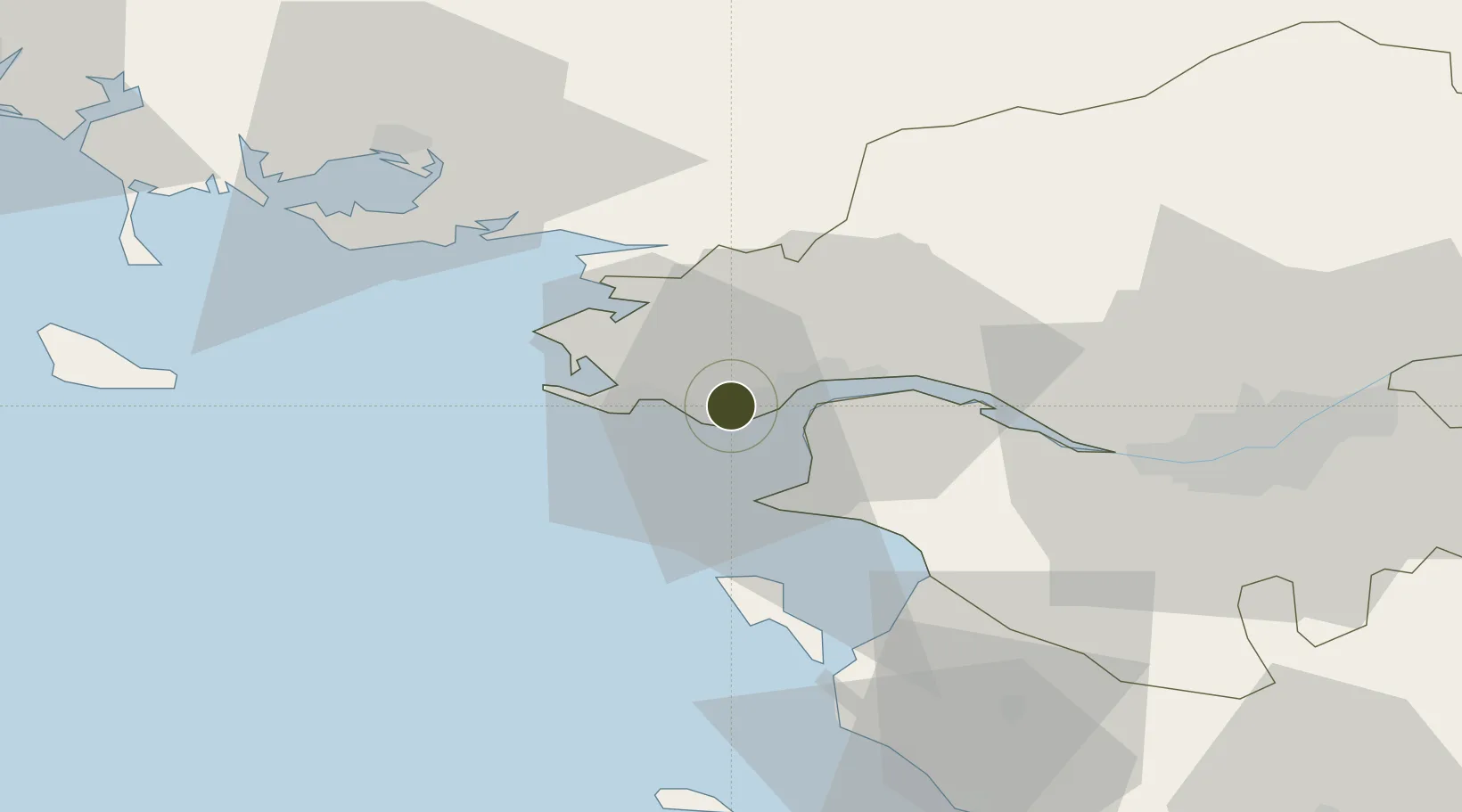
47.2770°, -2.2742°
115 ha
Zone area
5.6 km
Nearest port
5.6 km
Nearest airport

Gateway access

Nearest neighbours — logibook spatial index (haversine) over the source coordinates

Zone profile

Zone type
Economic Revitalization Project
Open Zone Map
Region
Loire-Atlantique
Open Zone Map
Status
Active
Open Zone Map
Management
Public
Open Zone Map
Operator
Ville de Saint-Nazaire
Open Zone Map
Legal framework
Décret no 65-939 du 8 novembre 1965, Décret du 9 Octobre 2008
Open Zone Map

Location

Location of ozm-1956
Natural Earth 10m (public domain) · Loire-Atlantique · ozm-1956 · 47.28, -2.27GoogleOSMYandex

Nearby Logistics Neighbours

Ports
  1. 1St Nazaire6 km
  2. 2Montoir11 km
  3. 3Donges16 km
  4. 4Nantes54 km
  5. 5Les Sables D' Olonne94 km
Nearest neighbours — logibook spatial index (haversine) over the source coordinates
Airports
  1. 1La Baule-Escoublac Airport6 km
  2. 2Saint-Nazaire-Montoir Airport10 km
  3. 3Beauvoir Fromentine Airfield45 km
  4. 4Nantes Atlantique Airport52 km
  5. 5Vannes-Meucon Airport60 km
Nearest neighbours — logibook spatial index (haversine) over the source coordinates
Cities
  1. 1Saint-André-des-Eaux6 km
  2. 2Saint-Nazaire6 km
  3. 3Pornichet7 km
  4. 4Trignac8 km
  5. 5La Baule-Escoublac10 km
Nearest neighbours — logibook spatial index (haversine) over the source coordinates
Trade Zones
  1. 1ZFU Nantes et Saint-Herblain44 km
  2. 2ZFU Angers128 km
  3. 3ZFU La Rochelle148 km
  4. 4ZFU Le Mans196 km
  5. 5ZFU Alençon218 km
Nearest neighbours — logibook spatial index (haversine) over the source coordinates
DatabookThe Record of Consolidated Knowledge
France beyond logistics?
Browse databook

All Sources

Trade ZonesOpen Zone Map
CC BY
Portsthe NGA World Port Index
Public domain (US gov)
AirportsOurAirports
Public domain
LocationsUN/LOCODE
UN/LOCODE — free
← France trade zones