Channel & Berth Profile
Facilities & Capabilities
Container—
Ro-Ro—
Liquid bulk—
Dry bulk—
Oil terminal—
Break bulk—
Dry dock—
Repairs—
Bunkering—
Rail link—
Dangerous cargo—
ISPS security—
Harbour Specifications
Harbour size
Very Small
Harbour type
River (Natural)
Shelter
Fair
Water body
English Channel; North Atlantic Ocean
Tidal range
9 m
Overhead limit
Yes
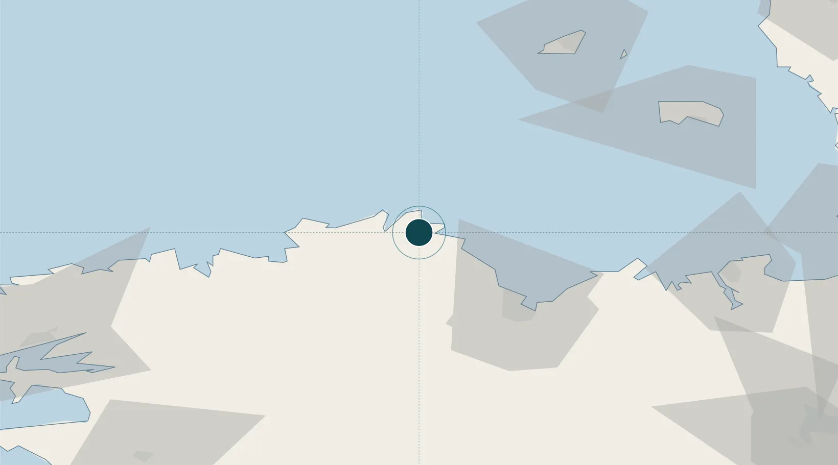
Location
Nearby Logistics Neighbours
Cities
- 1Lézardrieux1 km
- 2Paimpol4 km
- 3Plourivo5 km
- 4Lanmodez7 km
- 5Trédarzec7 km
Airports
- 1Lannion Airport28 km
- 2Saint-Brieuc-Armor Airport33 km
- 3Morlaix-Ploujean Airport57 km
- 4Dinard Pleurtuit Saint-Malo airport78 km
- 5Guernsey Airport80 km
Trade Zones
- 1ZFU Cherbourg-Octeville141 km
- 2ZFU Saint-Nazaire179 km
- 3Oceansgate Plymouth192 km
- 4Heart of the South West Enterprise Zone192 km
- 5ZFU La Guérinière, La Grâce de Dieu201 km
DatabookThe Record of Consolidated Knowledge
France beyond logistics?