UN/LOCODE hub · France
FRMBJ

Saint-Coulomb

48.6833°, -1.9000°
2,398
Population
1
Transport functions

Transport Functions

Multimodal
UN/LOCODE

Hub Profile

Place type
Populated place
GeoNames
Region
Brittany
GeoNames
Population
2,398
GeoNames
Time zone
Europe/Paris
GeoNames
Elevation
37 m
GeoNames

Location

Location of FRMBJ
Natural Earth 10m (public domain) · Brittany · FRMBJ · 48.68, -1.90GoogleOSMYandex

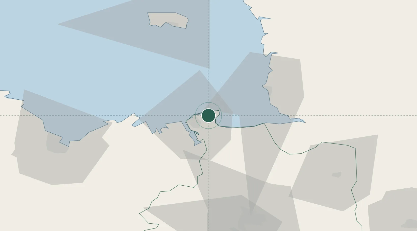
Nearby Logistics Neighbours

Cities
  1. 1Cancale4 km
  2. 2Saint-Malo9 km
  3. 3Le Vivier-sur-Mer13 km
  4. 4Châteauneuf-d'Ille-et-Vilaine15 km
  5. 5Jugon-les-Lacs17 km
Nearest neighbours — logibook spatial index (haversine) over the source coordinates
Ports
  1. 1Saint-Malo9 km
  2. 2Granville28 km
  3. 3Saint Helier Harbour58 km
  4. 4Le Legue65 km
  5. 5Paimpol85 km
Nearest neighbours — logibook spatial index (haversine) over the source coordinates
Airports
  1. 1Dinard Pleurtuit Saint-Malo airport17 km
  2. 2Granville Airport33 km
  3. 3Jersey Airport62 km
  4. 4Rennes-Saint-Jacques Airport69 km
  5. 5Saint-Brieuc-Armor Airport72 km
Nearest neighbours — logibook spatial index (haversine) over the source coordinates
Trade Zones
  1. 1ZFU Cherbourg-Octeville108 km
  2. 2ZFU La Guérinière, La Grâce de Dieu123 km
  3. 3ZFU Hérouville-Saint-Clair127 km
  4. 4ZFU Alençon148 km
  5. 5ZFU Saint-Nazaire159 km
Nearest neighbours — logibook spatial index (haversine) over the source coordinates
DatabookThe Record of Consolidated Knowledge
France beyond logistics?
Browse databook

All Sources

LocationsUN/LOCODE
UN/LOCODE — free
LocationsGeoNames
CC BY 4.0
Portsthe NGA World Port Index
Public domain (US gov)
AirportsOurAirports
Public domain
Trade Zonesthe World Bank SEZ database
CC BY 4.0
Trade ZonesOpen Zone Map
CC BY
← France locations