UN/LOCODE hub · France
FRYPP

Pleslin-Trigavou

48.5333°, -2.0500°
3,087
Population
1
Transport functions

Transport Functions

Multimodal
UN/LOCODE

Hub Profile

Place type
Populated place
GeoNames
Region
Brittany
GeoNames
Population
3,087
GeoNames
Time zone
Europe/Paris
GeoNames
Elevation
62 m
GeoNames

Location

Location of FRYPP
Natural Earth 10m (public domain) · Brittany · FRYPP · 48.53, -2.05GoogleOSMYandex

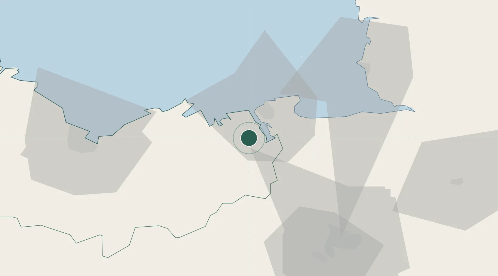
Nearby Logistics Neighbours

Cities
  1. 1Plouër-sur-Rance4 km
  2. 2Taden6 km
  3. 3Pleudihen-sur-Rance7 km
  4. 4Quévert8 km
  5. 5Dinan9 km
Nearest neighbours — logibook spatial index (haversine) over the source coordinates
Ports
  1. 1Saint-Malo13 km
  2. 2Granville47 km
  3. 3Le Legue52 km
  4. 4Saint Helier Harbour72 km
  5. 5Paimpol79 km
Nearest neighbours — logibook spatial index (haversine) over the source coordinates
Airports
  1. 1Dinard Pleurtuit Saint-Malo airport6 km
  2. 2Granville Airport53 km
  3. 3Rennes-Saint-Jacques Airport57 km
  4. 4Saint-Brieuc-Armor Airport59 km
  5. 5Jersey Airport76 km
Nearest neighbours — logibook spatial index (haversine) over the source coordinates
Trade Zones
  1. 1ZFU Cherbourg-Octeville126 km
  2. 2ZFU La Guérinière, La Grâce de Dieu140 km
  3. 3ZFU Saint-Nazaire141 km
  4. 4ZFU Hérouville-Saint-Clair145 km
  5. 5ZFU Nantes et Saint-Herblain148 km
Nearest neighbours — logibook spatial index (haversine) over the source coordinates
DatabookThe Record of Consolidated Knowledge
France beyond logistics?
Browse databook

All Sources

LocationsUN/LOCODE
UN/LOCODE — free
LocationsGeoNames
CC BY 4.0
Portsthe NGA World Port Index
Public domain (US gov)
AirportsOurAirports
Public domain
Trade Zonesthe World Bank SEZ database
CC BY 4.0
Trade ZonesOpen Zone Map
CC BY
← France locations