UN/LOCODE hub · France
FRSML

Saint-Malo

48.6500°, -2.0167°
50,676
Population
1
Transport functions

Transport Functions

Port
Saint-Malo is also a profiled seaport →
UN/LOCODE

Hub Profile

Place type
District seat
GeoNames
Region
Brittany
GeoNames
Population
50,676
GeoNames
Time zone
Europe/Paris
GeoNames
Elevation
10 m
GeoNames

Location

Location of FRSML
Natural Earth 10m (public domain) · Brittany · FRSML · 48.65, -2.02GoogleOSMYandex

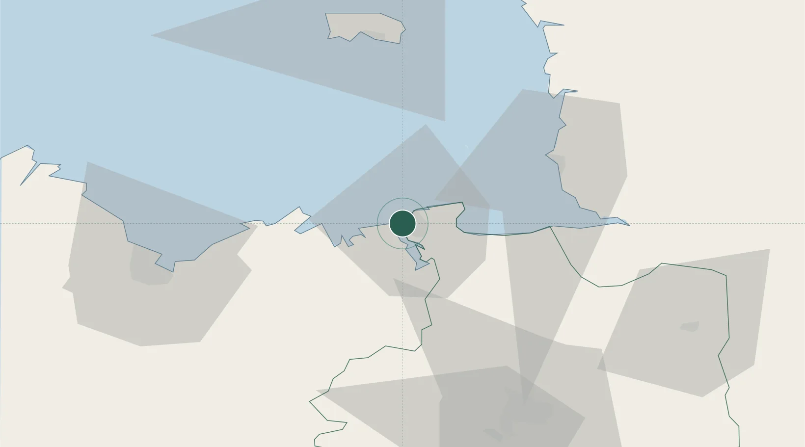
Nearby Logistics Neighbours

Cities
  1. 1Saint-Coulomb9 km
  2. 2Cancale13 km
  3. 3Plouër-sur-Rance13 km
  4. 4Pleslin-Trigavou13 km
  5. 5Châteauneuf-d'Ille-et-Vilaine13 km
Nearest neighbours — logibook spatial index (haversine) over the source coordinates
Ports
  1. 1Granville37 km
  2. 2Le Legue56 km
  3. 3Saint Helier Harbour60 km
  4. 4Paimpol77 km
  5. 5Lezardrieux81 km
Nearest neighbours — logibook spatial index (haversine) over the source coordinates
Airports
  1. 1Dinard Pleurtuit Saint-Malo airport8 km
  2. 2Granville Airport42 km
  3. 3Saint-Brieuc-Armor Airport63 km
  4. 4Jersey Airport63 km
  5. 5Rennes-Saint-Jacques Airport68 km
Nearest neighbours — logibook spatial index (haversine) over the source coordinates
Trade Zones
  1. 1ZFU Cherbourg-Octeville113 km
  2. 2ZFU La Guérinière, La Grâce de Dieu132 km
  3. 3ZFU Hérouville-Saint-Clair137 km
  4. 4ZFU Saint-Nazaire154 km
  5. 5ZFU Nantes et Saint-Herblain160 km
Nearest neighbours — logibook spatial index (haversine) over the source coordinates
DatabookThe Record of Consolidated Knowledge
France beyond logistics?
Browse databook

All Sources

LocationsUN/LOCODE
UN/LOCODE — free
LocationsGeoNames
CC BY 4.0
Portsthe NGA World Port Index
Public domain (US gov)
AirportsOurAirports
Public domain
Trade Zonesthe World Bank SEZ database
CC BY 4.0
Trade ZonesOpen Zone Map
CC BY
← France locations