Transport Functions
Port
Road
Hub Profile
Place type
Populated place
Region
Brittany
Population
5,751
Time zone
Europe/Paris
Elevation
10 m
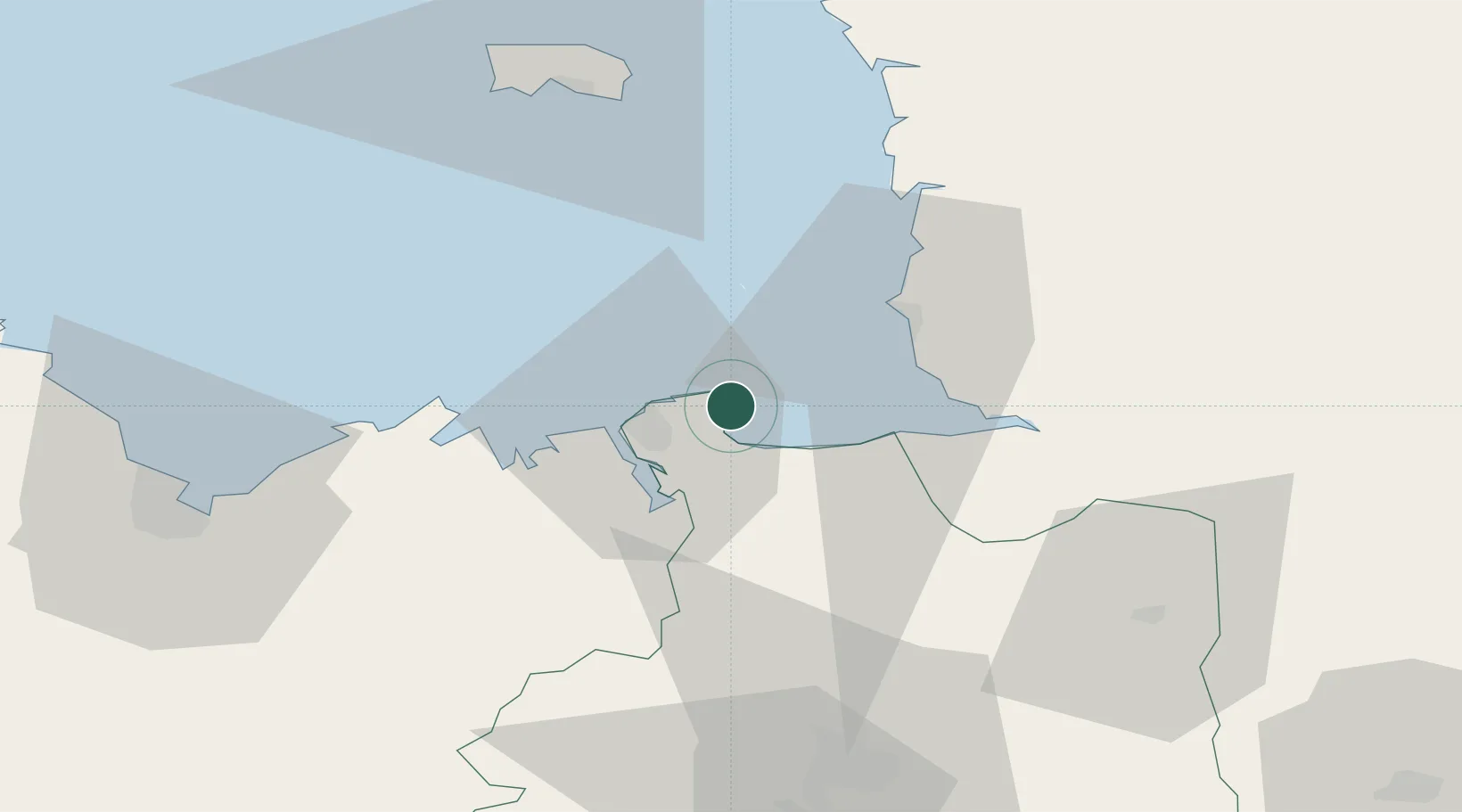
Location
Nearby Logistics Neighbours
Cities
- 1Saint-Coulomb4 km
- 2Le Vivier-sur-Mer11 km
- 3Saint-Malo13 km
- 4Châteauneuf-d'Ille-et-Vilaine16 km
- 5Plerguer17 km
Ports
- 1Saint-Malo13 km
- 2Granville25 km
- 3Saint Helier Harbour59 km
- 4Le Legue68 km
- 5Paimpol89 km
Airports
- 1Dinard Pleurtuit Saint-Malo airport20 km
- 2Granville Airport31 km
- 3Jersey Airport64 km
- 4Rennes-Saint-Jacques Airport69 km
- 5Saint-Brieuc-Armor Airport76 km
Trade Zones
- 1ZFU Cherbourg-Octeville107 km
- 2ZFU La Guérinière, La Grâce de Dieu119 km
- 3ZFU Hérouville-Saint-Clair124 km
- 4ZFU Alençon145 km
- 5ZFU Saint-Nazaire160 km
DatabookThe Record of Consolidated Knowledge
France beyond logistics?