Seaport · France

LorientFRLRT

47.7500°, -3.3500°
7.9 m
Channel depth
9.6
Port liner connectivity
Lorient is also a UN/LOCODE logistics hub →

Channel & Berth Profile

SEA LEVEL (CD)CHANNEL BEDChannel · 7.9 mOil terminal · 9.8 mCargo pier · 10.0 mAnchorage · 18.6 m
NGA World Port Index

Pilotage, Tugs & Services

Pilotage compulsoryYES
Pilotage availableYES
Pilotage advisableYES
Tug assistanceYES
Potable waterYES
Diesel bunkersYES
MedicalYES
Garbage disposalYES
NGA World Port Index

Facilities & Capabilities

ContainerYES
Ro-RoYES
Liquid bulkYES
Dry bulkYES
Oil terminalYES
Break bulkYES
Dry dockNO
RepairsNO
BunkeringYES
Rail linkYES
Dangerous cargo
ISPS securityYES
NGA World Port Index

Harbour Specifications

Harbour size
Medium
NGA World Port Index
Harbour type
River (Natural)
NGA World Port Index
Shelter
Excellent
NGA World Port Index
Water body
Bay of Biscay; North Atlantic Ocean
NGA World Port Index
Tidal range
4 m
NGA World Port Index
Overhead limit
Yes
NGA World Port Index
Pilotage
Yes
NGA World Port Index

Liner Connectivity

9.6
PLSCI

Port Liner Shipping Connectivity Index for Lorient, as published by UNCTAD for the latest available quarter. Higher values indicate stronger scheduled liner-shipping integration.

Shown relative to the highest per-port PLSCI in the dataset (1,657.9).
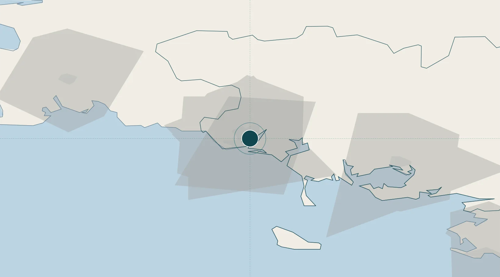
UNCTAD · Port Liner Shipping Connectivity Index

Location

Location of FRLRT
Natural Earth 10m (public domain) · Morbihan · FRLRT · 47.75, -3.35GoogleOSMYandex

Nearby Logistics Neighbours

Ports
  1. 1Concarneau44 km
  2. 2Le Legue98 km
  3. 3Morlaix99 km
  4. 4St Nazaire101 km
  5. 5Montoir104 km
Nearest neighbours — logibook spatial index (haversine) over the source coordinates
Cities
  1. 1Locmiquélic4 km
  2. 2Port-Louis4 km
  3. 3Lamor-Plage6 km
  4. 4Hennebont8 km
  5. 5Pont-Scorff10 km
Nearest neighbours — logibook spatial index (haversine) over the source coordinates
Airports
  1. 1Lorient South Brittany (Bretagne Sud) Airport7 km
  2. 2Vannes-Meucon Airport47 km
  3. 3Aérodrome de Belle Île49 km
  4. 4Quimper-Cornouaille Airport66 km
  5. 5La Baule-Escoublac Airport91 km
Nearest neighbours — logibook spatial index (haversine) over the source coordinates
Trade Zones
  1. 1ZFU Saint-Nazaire96 km
  2. 2ZFU Nantes et Saint-Herblain137 km
  3. 3ZFU Angers208 km
  4. 4ZFU La Rochelle240 km
  5. 5ZFU Cherbourg-Octeville244 km
Nearest neighbours — logibook spatial index (haversine) over the source coordinates
DatabookThe Record of Consolidated Knowledge
France beyond logistics?
Browse databook

All Sources

Portsthe NGA World Port Index
Public domain (US gov)
Logistics performanceUNCTAD
CC BY 3.0 IGO
AirportsOurAirports
Public domain
LocationsUN/LOCODE
UN/LOCODE — free
Trade Zonesthe World Bank SEZ database
CC BY 4.0
Trade ZonesOpen Zone Map
CC BY
← France ports