Seaport · France
MontoirFRMTX
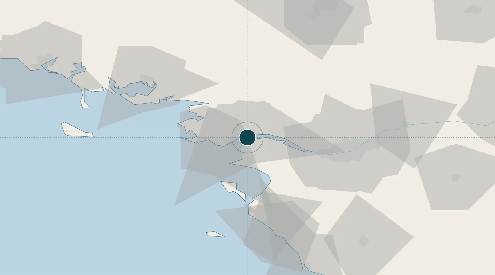
47.3000°, -2.1333°
12.5 m
Channel depth
1
Container terminals
70.1
Port liner connectivity
Channel & Berth Profile
Pilotage, Tugs & Services
Pilotage compulsoryYES
Pilotage availableYES
Facilities & Capabilities
Container—
Ro-Ro—
Liquid bulk—
Dry bulk—
Oil terminal—
Break bulk—
Dry dock—
Repairs—
Bunkering—
Rail link—
Dangerous cargo—
ISPS security—
Harbour Specifications
Harbour size
Medium
Harbour type
River (Natural)
Shelter
Good
Water body
Bay of Biscay; North Atlantic Ocean
Pilotage
Yes
Liner Connectivity
70.1
PLSCI
Port Liner Shipping Connectivity Index for Montoir, as published by UNCTAD for the latest available quarter. Higher values indicate stronger scheduled liner-shipping integration.
Shown relative to the highest per-port PLSCI in the dataset (1,657.9).
Location
Container Terminals · 1
TERMINAL DU GRAND OUEST MONTOIR
TGO TERMINAL DU GRAND OUEST (TGO)
Nearby Logistics Neighbours
Ports
- 1Donges5 km
- 2St Nazaire5 km
- 3Nantes44 km
- 4Les Sables D' Olonne93 km
- 5Lorient104 km
Cities
- 1Trignac4 km
- 2Donges5 km
- 3Saint-Nazaire5 km
- 4Paimbuf9 km
- 5Saint-Joachim11 km
Airports
Trade Zones
- 1ZFU Saint-Nazaire11 km
- 2ZFU Nantes et Saint-Herblain34 km
- 3ZFU Angers117 km
- 4ZFU La Rochelle145 km
- 5ZFU Le Mans185 km
DatabookThe Record of Consolidated Knowledge
France beyond logistics?