Economic Revitalization Project · France

ZFU La Rochelle Active
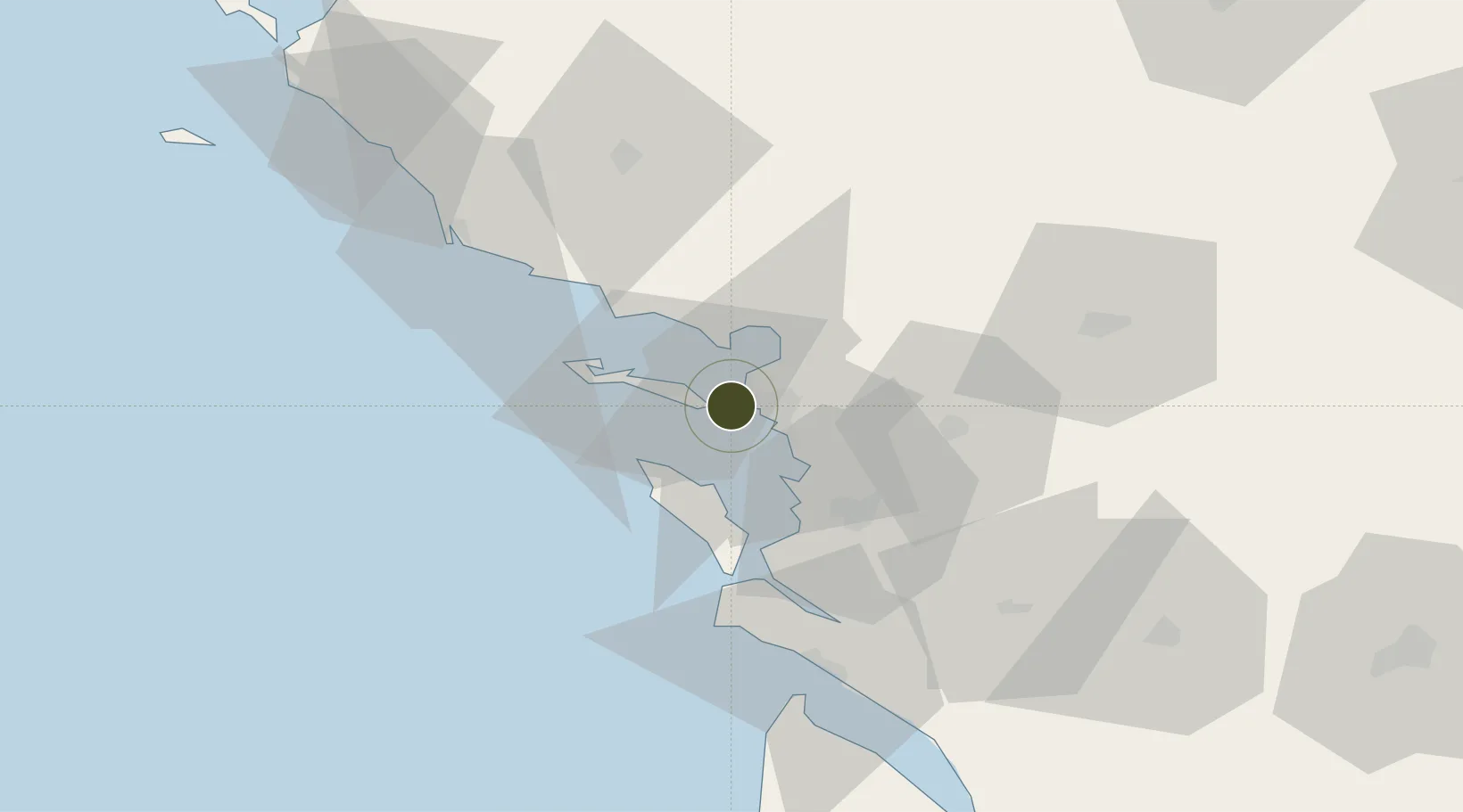
46.1621°, -1.2114°
341 ha
Zone area
0.7 km
Nearest port
2.3 km
Nearest airport

Gateway access

Nearest neighbours — logibook spatial index (haversine) over the source coordinates

Zone profile

Zone type
Economic Revitalization Project
Open Zone Map
Region
Charente-Maritime
Open Zone Map
Status
Active
Open Zone Map
Management
Public
Open Zone Map
Operator
La Rochelle
Open Zone Map
Legal framework
Décret no 65-939 du 8 novembre 1965, Décret du 9 Octobre 2008
Open Zone Map

Location

Location of ozm-2013
Natural Earth 10m (public domain) · Charente-Maritime · ozm-2013 · 46.16, -1.21GoogleOSMYandex

Nearby Logistics Neighbours

Ports
  1. 1La Pallice1 km
  2. 2La Rochelle5 km
  3. 3Rochefort33 km
  4. 4Tonnay Charente35 km
  5. 5Les Sables D' Olonne59 km
Nearest neighbours — logibook spatial index (haversine) over the source coordinates
Airports
  1. 1La Rochelle Île de Ré Airport2 km
  2. 2Rochefort-Saint-Agnant (BA 721) Airport35 km
  3. 3La Roche-sur-Yon Les Ajoncs Airport61 km
  4. 4Royan-Médis Airport62 km
  5. 5Niort - Marais Poitevin Airport65 km
Nearest neighbours — logibook spatial index (haversine) over the source coordinates
Cities
  1. 1La Rochelle0 km
  2. 2la Pallice1 km
  3. 3Aytré9 km
  4. 4Périgny10 km
  5. 5La Jarne12 km
Nearest neighbours — logibook spatial index (haversine) over the source coordinates
Trade Zones
  1. 1ZFU Nantes et Saint-Herblain124 km
  2. 2ZFU Saint-Nazaire148 km
  3. 3Port de Bordeaux149 km
  4. 4ZFU Angers154 km
  5. 5ZFU Hauts de Garonne156 km
Nearest neighbours — logibook spatial index (haversine) over the source coordinates
DatabookThe Record of Consolidated Knowledge
France beyond logistics?
Browse databook

All Sources

Trade ZonesOpen Zone Map
CC BY
Portsthe NGA World Port Index
Public domain (US gov)
AirportsOurAirports
Public domain
LocationsUN/LOCODE
UN/LOCODE — free
← France trade zones