Transport Functions
Multimodal
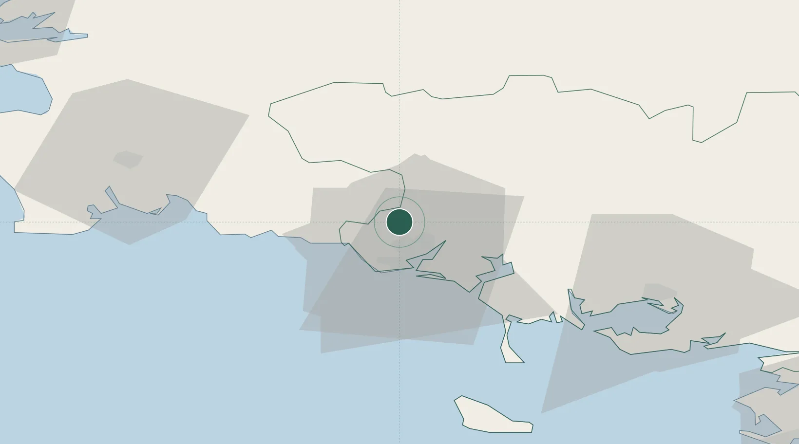
Hub Profile
Place type
Populated place
Region
Brittany
Population
2,826
Time zone
Europe/Paris
Elevation
44 m
Location
Nearby Logistics Neighbours
Cities
- 1Hennebont10 km
- 2Lorient10 km
- 3Plouay11 km
- 4Locmiquélic14 km
- 5Port-Louis14 km
Ports
- 1Lorient10 km
- 2Concarneau39 km
- 3Morlaix89 km
- 4Le Legue92 km
- 5Pontrieux99 km
Airports
Trade Zones
- 1ZFU Saint-Nazaire105 km
- 2ZFU Nantes et Saint-Herblain144 km
- 3ZFU Angers214 km
- 4ZFU Cherbourg-Octeville238 km
- 5ZFU La Rochelle249 km
DatabookThe Record of Consolidated Knowledge
France beyond logistics?