Channel & Berth Profile
Pilotage, Tugs & Services
Pilotage compulsoryYES
Pilotage availableYES
Pilotage advisableYES
Local assistanceYES
Tug assistanceYES
Potable waterYES
Diesel bunkersYES
MedicalYES
Garbage disposalYES
Facilities & Capabilities
Container—
Ro-Ro—
Liquid bulk—
Dry bulk—
Oil terminal—
Break bulk—
Dry dock—
RepairsNO
BunkeringYES
Rail linkYES
Dangerous cargo—
ISPS security—
Harbour Specifications
Harbour size
Very Small
Harbour type
Coastal (Breakwater)
Shelter
Fair
Water body
Bay of Biscay; North Atlantic Ocean
Tidal range
3 m
Overhead limit
Yes
Pilotage
Yes
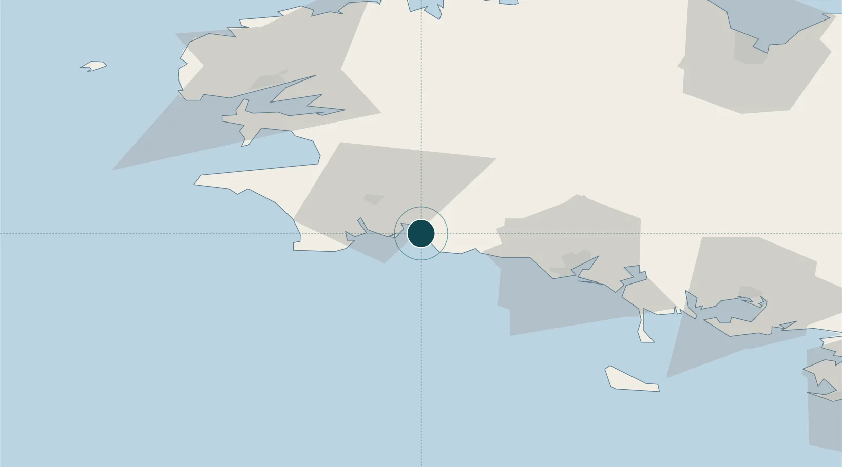
Location
Nearby Logistics Neighbours
Ports
- 1Lorient44 km
- 2Rade De Brest72 km
- 3Morlaix80 km
- 4Port De Roscoff-Bloscon97 km
- 5Pontrieux110 km
Cities
- 1Trégunc5 km
- 2La Forêt-Fouesnant8 km
- 3Fouesnant8 km
- 4Pleuven10 km
- 5Port Manec'h11 km
Airports
Trade Zones
- 1ZFU Saint-Nazaire140 km
- 2ZFU Nantes et Saint-Herblain181 km
- 3ZFU Angers252 km
- 4ZFU Cherbourg-Octeville257 km
- 5Oceansgate Plymouth279 km
DatabookThe Record of Consolidated Knowledge
France beyond logistics?