Small airport · France

Aérodrome de Belle ÎleLFEA
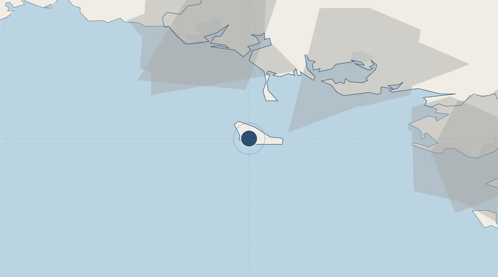
47.3253°, -3.2013°
2,165 ft
Longest runway
1
Runways
171 ft
Elevation

Runway & Layout

Aérodrome de Belle Île runway & taxiway layout
Runway & taxiway layout — OpenStreetMap (ODbL) / OurAirports

Runways · 1

RunwayDimensions SurfaceTrue headingLit
06/24 2,165 × 82ft Asphalt
OurAirports

Airport Specifications

IATA code
BIC
OurAirports
ICAO code
LFEA
OurAirports
Airport class
Small airport
OurAirports
Scheduled service
Yes
OurAirports
Runway surface
Asphalt
OurAirports
Served city
Bangor
OurAirports

Location

Location of LFEA
Natural Earth 10m (public domain) · Morbihan · LFEA · 47.33, -3.20GoogleOSMYandex

Nearby Logistics Neighbours

Airports
  1. 1Lorient South Brittany (Bretagne Sud) Airport52 km
  2. 2Vannes-Meucon Airport57 km
  3. 3La Baule-Escoublac Airport65 km
  4. 4Saint-Nazaire-Montoir Airport79 km
  5. 5Île d'Yeu Airport91 km
Nearest neighbours — logibook spatial index (haversine) over the source coordinates
Cities
  1. 1Sauzon5 km
  2. 2Quiberon19 km
  3. 3Saint-Pierre-Quiberon22 km
  4. 4Hoedic24 km
  5. 5Carnac30 km
Nearest neighbours — logibook spatial index (haversine) over the source coordinates
Ports
  1. 1Lorient49 km
  2. 2St Nazaire76 km
  3. 3Montoir81 km
  4. 4Concarneau81 km
  5. 5Donges86 km
Nearest neighbours — logibook spatial index (haversine) over the source coordinates
Trade Zones
  1. 1ZFU Saint-Nazaire70 km
  2. 2ZFU Nantes et Saint-Herblain114 km
  3. 3ZFU Angers197 km
  4. 4ZFU La Rochelle199 km
  5. 5ZFU Le Mans260 km
Nearest neighbours — logibook spatial index (haversine) over the source coordinates
DatabookThe Record of Consolidated Knowledge
France beyond logistics?
Browse databook

All Sources

AirportsOurAirports
Public domain
Portsthe NGA World Port Index
Public domain (US gov)
LocationsUN/LOCODE
UN/LOCODE — free
Trade Zonesthe World Bank SEZ database
CC BY 4.0
Trade ZonesOpen Zone Map
CC BY
InfrastructureOpenStreetMap
ODbL 1.0
← France airports