Transport Functions
Port
Road
Hub Profile
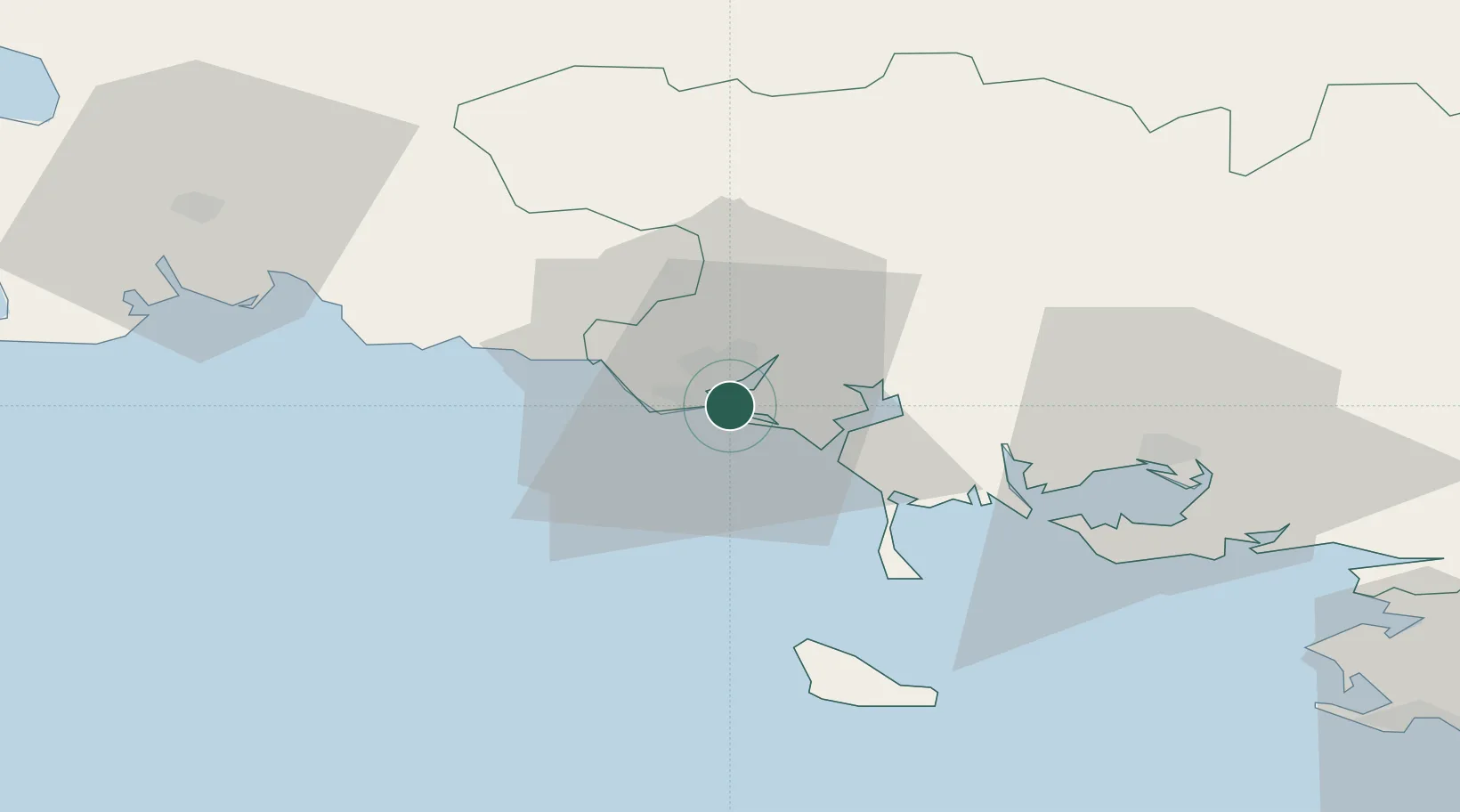
Place type
Populated place
Region
Brittany
Population
4,181
Time zone
Europe/Paris
Elevation
14 m
Location
Nearby Logistics Neighbours
Cities
- 1Port-Louis0 km
- 2Lamor-Plage3 km
- 3Lorient4 km
- 4Hennebont11 km
- 5Sainte-Hélène11 km
Ports
- 1Lorient4 km
- 2Concarneau46 km
- 3St Nazaire99 km
- 4Le Legue101 km
- 5Montoir103 km
Airports
Trade Zones
- 1ZFU Saint-Nazaire95 km
- 2ZFU Nantes et Saint-Herblain136 km
- 3ZFU Angers208 km
- 4ZFU La Rochelle237 km
- 5ZFU Cherbourg-Octeville247 km
DatabookThe Record of Consolidated Knowledge
France beyond logistics?