Medium airport · France

Quimper-Cornouaille AirportLFRQ
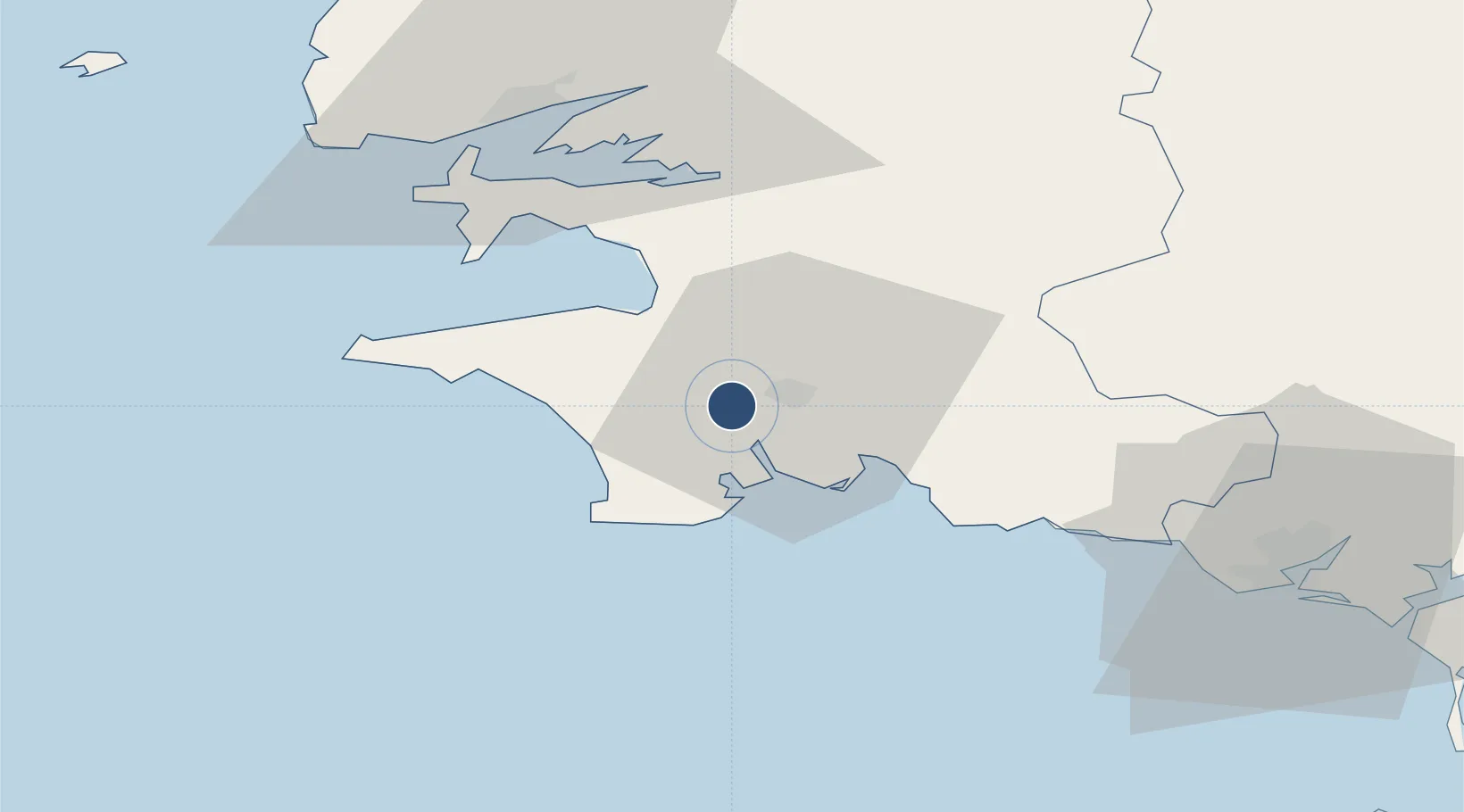
47.9730°, -4.1697°
7,054 ft
Longest runway
1
Runways
297 ft
Elevation

Runway & Layout

Quimper-Cornouaille Airport runway & taxiway layout
Runway & taxiway layout — OpenStreetMap (ODbL) / OurAirports

Radio Frequencies

TWR
118.625 MHz
QUIMPER TWR
APP
119.575 MHz
IROISE APP
OurAirports

Navaids

QPR VOR-DME Quimper 117.80 MHz
RQ NDB Quimper 380 kHz
OurAirports

Runways · 1

RunwayDimensions SurfaceTrue headingLit
09/27 7,054 × 148ft Asphalt 094°
OurAirports

Airport Specifications

IATA code
UIP
OurAirports
ICAO code
LFRQ
OurAirports
Airport class
Medium airport
OurAirports
Scheduled service
No
OurAirports
Runway surface
Asphalt
OurAirports
Served city
Quimper/Pluguffan
OurAirports

Location

Location of LFRQ
Natural Earth 10m (public domain) · Finistère · LFRQ · 47.97, -4.17GoogleOSMYandex

Nearby Logistics Neighbours

Airports
  1. 1Lanvéoc-Poulmic Air Base40 km
  2. 2Brest Bretagne airport56 km
  3. 3Lorient South Brittany (Bretagne Sud) Airport59 km
  4. 4Landivisiau Air Base62 km
  5. 5Morlaix-Ploujean Airport75 km
Nearest neighbours — logibook spatial index (haversine) over the source coordinates
Cities
  1. 1Quimper6 km
  2. 2Combrit8 km
  3. 3Pont-l'Abbé12 km
  4. 4Bénodet13 km
  5. 5Pleuven13 km
Nearest neighbours — logibook spatial index (haversine) over the source coordinates
Ports
  1. 1Concarneau22 km
  2. 2Rade De Brest52 km
  3. 3Lorient66 km
  4. 4Morlaix72 km
  5. 5Port De Roscoff-Bloscon86 km
Nearest neighbours — logibook spatial index (haversine) over the source coordinates
Trade Zones
  1. 1ZFU Saint-Nazaire162 km
  2. 2ZFU Nantes et Saint-Herblain203 km
  3. 3ZFU Cherbourg-Octeville261 km
  4. 4Oceansgate Plymouth267 km
  5. 5Heart of the South West Enterprise Zone269 km
Nearest neighbours — logibook spatial index (haversine) over the source coordinates
DatabookThe Record of Consolidated Knowledge
France beyond logistics?
Browse databook

All Sources

AirportsOurAirports
Public domain
Portsthe NGA World Port Index
Public domain (US gov)
LocationsUN/LOCODE
UN/LOCODE — free
Trade Zonesthe World Bank SEZ database
CC BY 4.0
Trade ZonesOpen Zone Map
CC BY
InfrastructureOpenStreetMap
ODbL 1.0
← France airports