UN/LOCODE hub · France
FRLRT

Lorient

47.7500°, -3.3667°
58,112
Population
3
Transport functions

Transport Functions

Port
Rail
Airport
Lorient is also a profiled seaport →
UN/LOCODE

Hub Profile

Place type
District seat
GeoNames
Region
Brittany
GeoNames
Population
58,112
GeoNames
Time zone
Europe/Paris
GeoNames
Elevation
10 m
GeoNames

Location

Location of FRLRT
Natural Earth 10m (public domain) · Brittany · FRLRT · 47.75, -3.37GoogleOSMYandex

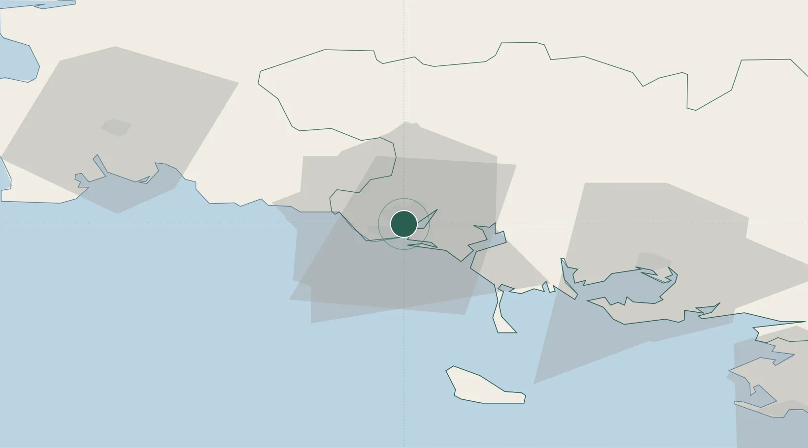
Nearby Logistics Neighbours

Cities
  1. 1Locmiquélic4 km
  2. 2Port-Louis4 km
  3. 3Lamor-Plage6 km
  4. 4Hennebont8 km
  5. 5Pont-Scorff10 km
Nearest neighbours — logibook spatial index (haversine) over the source coordinates
Ports
  1. 1Concarneau43 km
  2. 2Le Legue98 km
  3. 3Morlaix99 km
  4. 4St Nazaire102 km
  5. 5Montoir105 km
Nearest neighbours — logibook spatial index (haversine) over the source coordinates
Airports
  1. 1Lorient South Brittany (Bretagne Sud) Airport6 km
  2. 2Vannes-Meucon Airport49 km
  3. 3Aérodrome de Belle Île49 km
  4. 4Quimper-Cornouaille Airport65 km
  5. 5La Baule-Escoublac Airport92 km
Nearest neighbours — logibook spatial index (haversine) over the source coordinates
Trade Zones
  1. 1ZFU Saint-Nazaire98 km
  2. 2ZFU Nantes et Saint-Herblain138 km
  3. 3ZFU Angers210 km
  4. 4ZFU La Rochelle241 km
  5. 5ZFU Cherbourg-Octeville245 km
Nearest neighbours — logibook spatial index (haversine) over the source coordinates
DatabookThe Record of Consolidated Knowledge
France beyond logistics?
Browse databook

All Sources

LocationsUN/LOCODE
UN/LOCODE — free
LocationsGeoNames
CC BY 4.0
Portsthe NGA World Port Index
Public domain (US gov)
AirportsOurAirports
Public domain
Trade Zonesthe World Bank SEZ database
CC BY 4.0
Trade ZonesOpen Zone Map
CC BY
← France locations