UN/LOCODE hub · France
FRLP7

Lamor-Plage

47.7000°, -3.3833°
1
Transport functions

Transport Functions

Port
UN/LOCODE

Hub Profile

Region
56
GeoNames

Location

Location of FRLP7
Natural Earth 10m (public domain) · 56 · FRLP7 · 47.70, -3.38GoogleOSMYandex

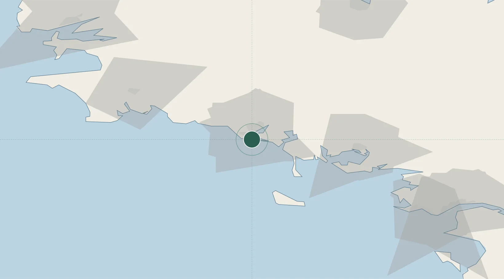
Nearby Logistics Neighbours

Cities
  1. 1Locmiquélic3 km
  2. 2Port-Louis3 km
  3. 3Lorient6 km
  4. 4Groix10 km
  5. 5Hennebont13 km
Nearest neighbours — logibook spatial index (haversine) over the source coordinates
Ports
  1. 1Lorient6 km
  2. 2Concarneau44 km
  3. 3St Nazaire100 km
  4. 4Morlaix104 km
  5. 5Montoir104 km
Nearest neighbours — logibook spatial index (haversine) over the source coordinates
Airports
  1. 1Lorient South Brittany (Bretagne Sud) Airport8 km
  2. 2Aérodrome de Belle Île44 km
  3. 3Vannes-Meucon Airport50 km
  4. 4Quimper-Cornouaille Airport66 km
  5. 5La Baule-Escoublac Airport90 km
Nearest neighbours — logibook spatial index (haversine) over the source coordinates
Trade Zones
  1. 1ZFU Saint-Nazaire96 km
  2. 2ZFU Nantes et Saint-Herblain137 km
  3. 3ZFU Angers210 km
  4. 4ZFU La Rochelle238 km
  5. 5ZFU Cherbourg-Octeville250 km
Nearest neighbours — logibook spatial index (haversine) over the source coordinates
DatabookThe Record of Consolidated Knowledge
France beyond logistics?
Browse databook

All Sources

LocationsUN/LOCODE
UN/LOCODE — free
Portsthe NGA World Port Index
Public domain (US gov)
AirportsOurAirports
Public domain
Trade Zonesthe World Bank SEZ database
CC BY 4.0
Trade ZonesOpen Zone Map
CC BY
← France locations