Medium airport · France
Lorient South Brittany (Bretagne Sud) AirportLFRH
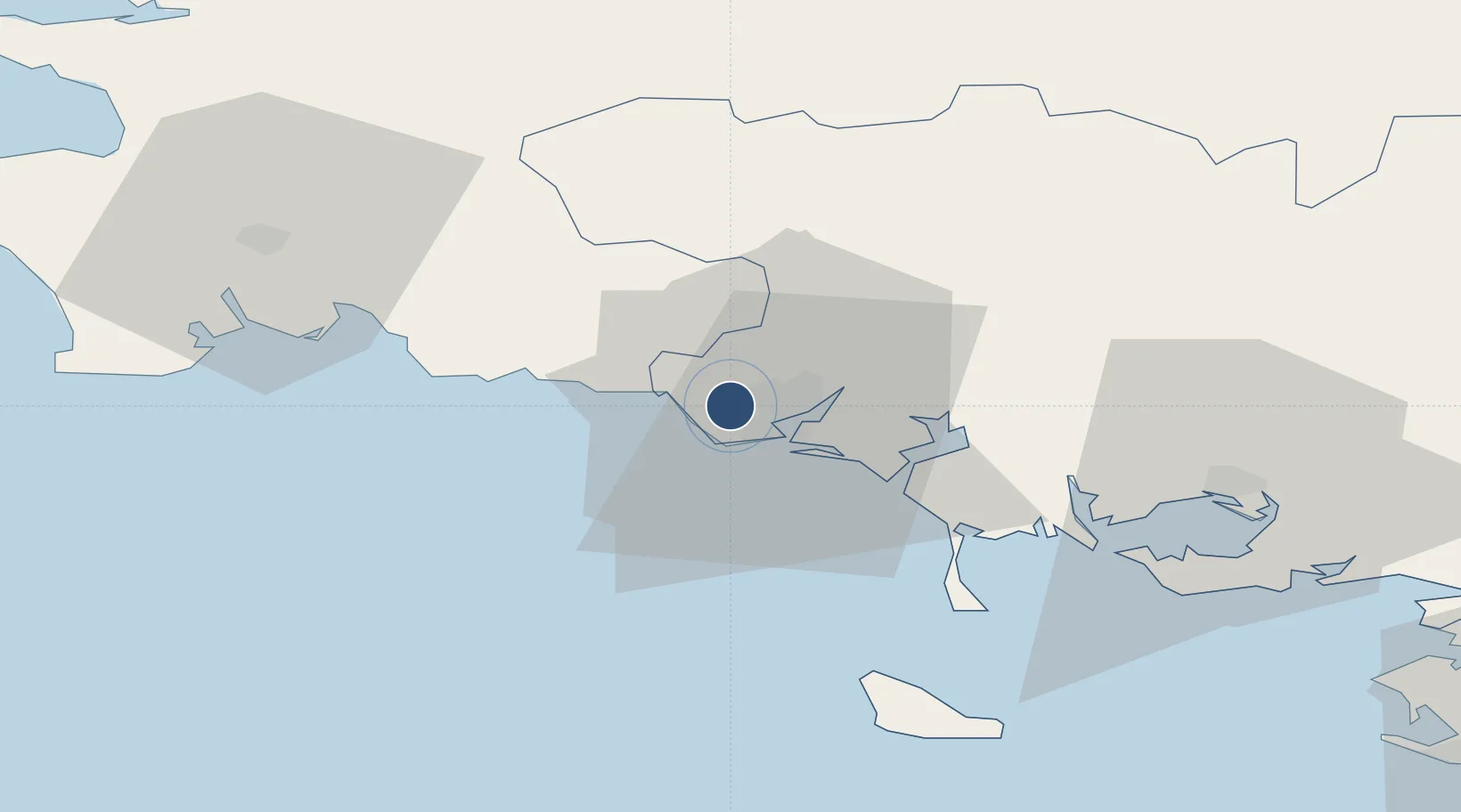
47.7606°, -3.4400°
7,884 ft
Longest runway
2
Runways
160 ft
Elevation
Runway & Layout

Radio Frequencies
ATIS
129.125 MHz
TWR
122.7 MHz
LORIENT TWR
GND
119.7 MHz
APP
36.23 MHz
LORIENT APP
APP
123 MHz
LORIENT APP
Navaids
LOR TACAN Lorient 115.80 MHz
LOR NDB Lorient 359 kHz
Runways · 2
| Runway | Dimensions | Surface | True heading | Lit |
|---|---|---|---|---|
| 07/25 | 7,884 × 148ft | Concrete | 072° | ✓ |
| 02/20 | 5,479 × 148ft | Concrete | 016° | ✓ |
Airport Specifications
IATA code
LRT
ICAO code
LFRH
Airport class
Medium airport
Scheduled service
Yes
Runway surface
Concrete
Served city
Lorient/Lann/Bihoué
Location
Nearby Logistics Neighbours
Airports
- 1Aérodrome de Belle Île52 km
- 2Vannes-Meucon Airport54 km
- 3Quimper-Cornouaille Airport59 km
- 4Lanvéoc-Poulmic Air Base95 km
- 5Saint-Brieuc-Armor Airport97 km
Cities
- 1Lorient6 km
- 2Lamor-Plage8 km
- 3Locmiquélic8 km
- 4Port-Louis8 km
- 5Pont-Scorff9 km
Ports
- 1Lorient7 km
- 2Concarneau38 km
- 3Morlaix96 km
- 4Le Legue100 km
- 5Rade De Brest105 km
Trade Zones
- 1ZFU Saint-Nazaire103 km
- 2ZFU Nantes et Saint-Herblain144 km
- 3ZFU Angers215 km
- 4ZFU La Rochelle245 km
- 5ZFU Cherbourg-Octeville246 km
DatabookThe Record of Consolidated Knowledge
France beyond logistics?