Transport Functions
Port
Hub Profile
Place type
Populated place
Region
Normandy
Population
488
Time zone
Europe/Paris
Elevation
53 m
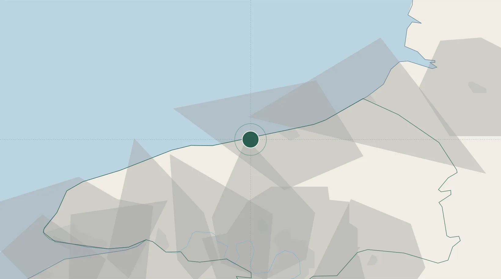
Location
Nearby Logistics Neighbours
Cities
- 1Luneray7 km
- 2Veules-les-Roses9 km
- 3Portes10 km
- 4Rouxmesnil-Bouteilles11 km
- 5Dieppe12 km
Ports
- 1Dieppe13 km
- 2Le Treport37 km
- 3Fecamp42 km
- 4Port Of Rouen51 km
- 5Saint-Valery-Sur-Somme59 km
Airports
Trade Zones
- 1ZFU Rouen Bihorel50 km
- 2ZFU Le Havre72 km
- 3ZFU Amiens87 km
- 4ZFU Beauvais96 km
- 5ZFU Évreux99 km
DatabookThe Record of Consolidated Knowledge
France beyond logistics?