Transport Functions
Rail
Road
Hub Profile
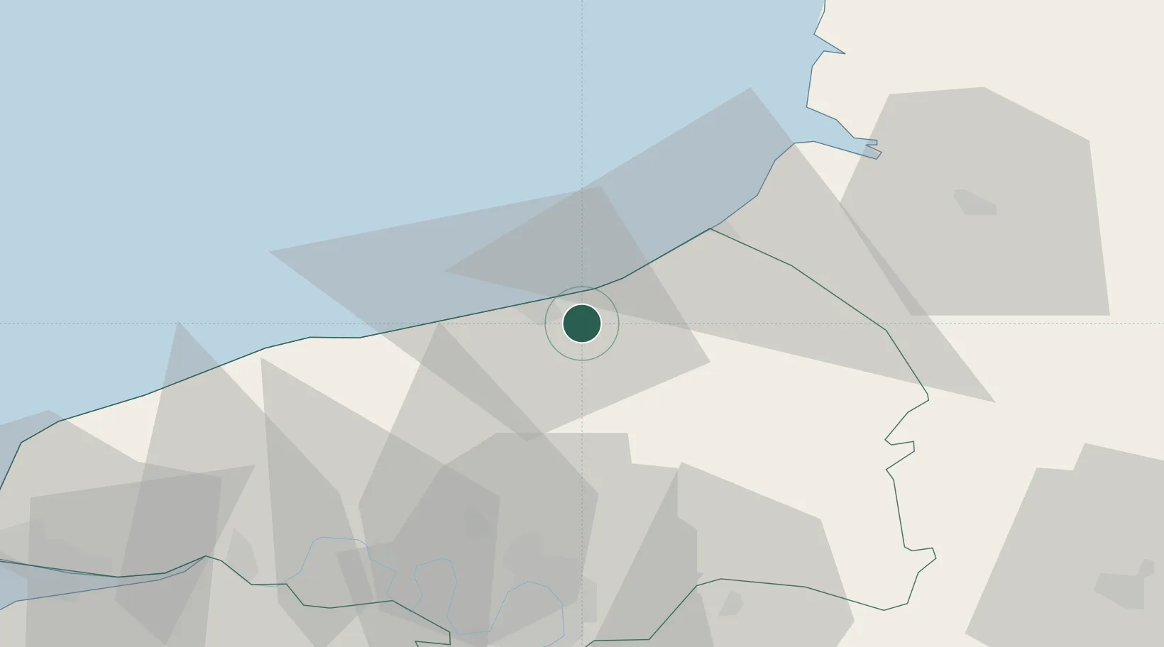
Place type
Populated place
Region
Normandy
Population
1,381
Time zone
Europe/Paris
Elevation
12 m
Location
Nearby Logistics Neighbours
Cities
- 1Dieppe5 km
- 2Rouxmesnil-Bouteilles6 km
- 3Anneville-sur-Scie9 km
- 4Manéhouville9 km
- 5Saint-Quentin-au-Bosc14 km
Ports
- 1Dieppe6 km
- 2Le Treport24 km
- 3Saint-Valery-Sur-Somme46 km
- 4Port Of Rouen50 km
- 5Fecamp58 km
Airports
Trade Zones
- 1ZFU Rouen Bihorel49 km
- 2ZFU Amiens70 km
- 3ZFU Beauvais83 km
- 4ZFU Le Havre86 km
- 5ZFU Évreux97 km
DatabookThe Record of Consolidated Knowledge
France beyond logistics?