Economic Revitalization Project · France
ZFU Beauvais Active
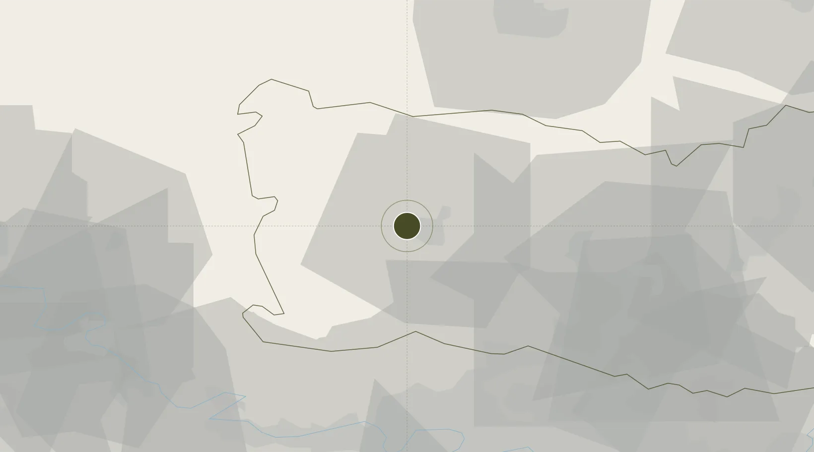
49.4436°, 2.0531°
88 ha
Zone area
71.3 km
Nearest port
4.5 km
Nearest airport
Gateway access
Zone profile
Zone type
Economic Revitalization Project
Region
Oise
Status
Active
Management
Public
Operator
Ville de Beauvais
Legal framework
Décret no 65-939 du 8 novembre 1965, Décret du 9 Octobre 2008
Location
Nearby Logistics Neighbours
Ports
- 1Port Of Rouen71 km
- 2Le Treport85 km
- 3Saint-Valery-Sur-Somme88 km
- 4Dieppe89 km
- 5Fecamp127 km
Airports
Cities
- 1Beauvais3 km
- 2Tillé5 km
- 3Lachapelle-aux-Pots12 km
- 4Villers-Saint-Sépulcre14 km
- 5Reuil-sur-Brêche14 km
Trade Zones
- 1ZFU Creil et Montataire33 km
- 2ZFU Amiens49 km
- 3ZFU Les Mureaux52 km
- 4ZFU Villiers-le-Bel54 km
- 5ZFU Mantes-la-Jolie56 km
DatabookThe Record of Consolidated Knowledge
France beyond logistics?