UN/LOCODE hub · France
FRRXB

Rouxmesnil-Bouteilles
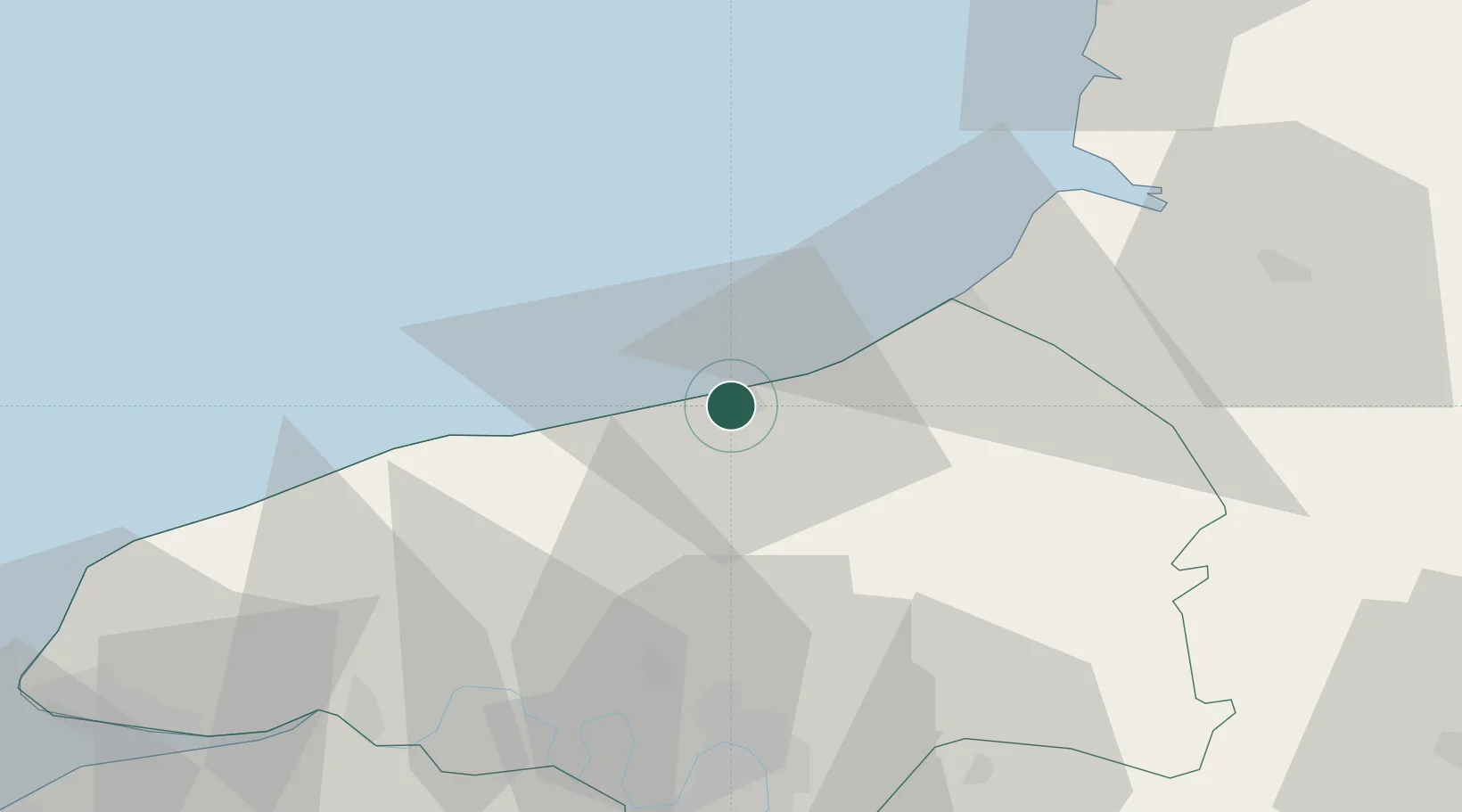
49.9167°, 1.0667°
1,843
Population
2
Transport functions

Transport Functions

Rail
Road
UN/LOCODE

Hub Profile

Place type
Populated place
GeoNames
Region
Normandy
GeoNames
Population
1,843
GeoNames
Time zone
Europe/Paris
GeoNames
Elevation
65 m
GeoNames

Location

Location of FRRXB
Natural Earth 10m (public domain) · Normandy · FRRXB · 49.92, 1.07GoogleOSMYandex

Nearby Logistics Neighbours

Cities
  1. 1Dieppe1 km
  2. 2Martin-Église6 km
  3. 3Anneville-sur-Scie9 km
  4. 4Manéhouville9 km
  5. 5Quiberville11 km
Nearest neighbours — logibook spatial index (haversine) over the source coordinates
Ports
  1. 1Dieppe2 km
  2. 2Le Treport27 km
  3. 3Saint-Valery-Sur-Somme49 km
  4. 4Port Of Rouen52 km
  5. 5Fecamp53 km
Nearest neighbours — logibook spatial index (haversine) over the source coordinates
Airports
  1. 1Rouen Vallée de Seine Airport60 km
  2. 2Abbeville-Buigny Baie de Somme Airfield60 km
  3. 3Le Touquet-Côte d'Opale Airport78 km
  4. 4Le Havre-Octeville Airport82 km
  5. 5Deauville Normandie airport90 km
Nearest neighbours — logibook spatial index (haversine) over the source coordinates
Trade Zones
  1. 1ZFU Rouen Bihorel50 km
  2. 2ZFU Amiens76 km
  3. 3ZFU Le Havre82 km
  4. 4ZFU Beauvais88 km
  5. 5ZFU Évreux99 km
Nearest neighbours — logibook spatial index (haversine) over the source coordinates
DatabookThe Record of Consolidated Knowledge
France beyond logistics?
Browse databook

All Sources

LocationsUN/LOCODE
UN/LOCODE — free
LocationsGeoNames
CC BY 4.0
Portsthe NGA World Port Index
Public domain (US gov)
AirportsOurAirports
Public domain
Trade Zonesthe World Bank SEZ database
CC BY 4.0
Trade ZonesOpen Zone Map
CC BY
← France locations