Large airport · France

Beauvais-Tillé airportLFOB
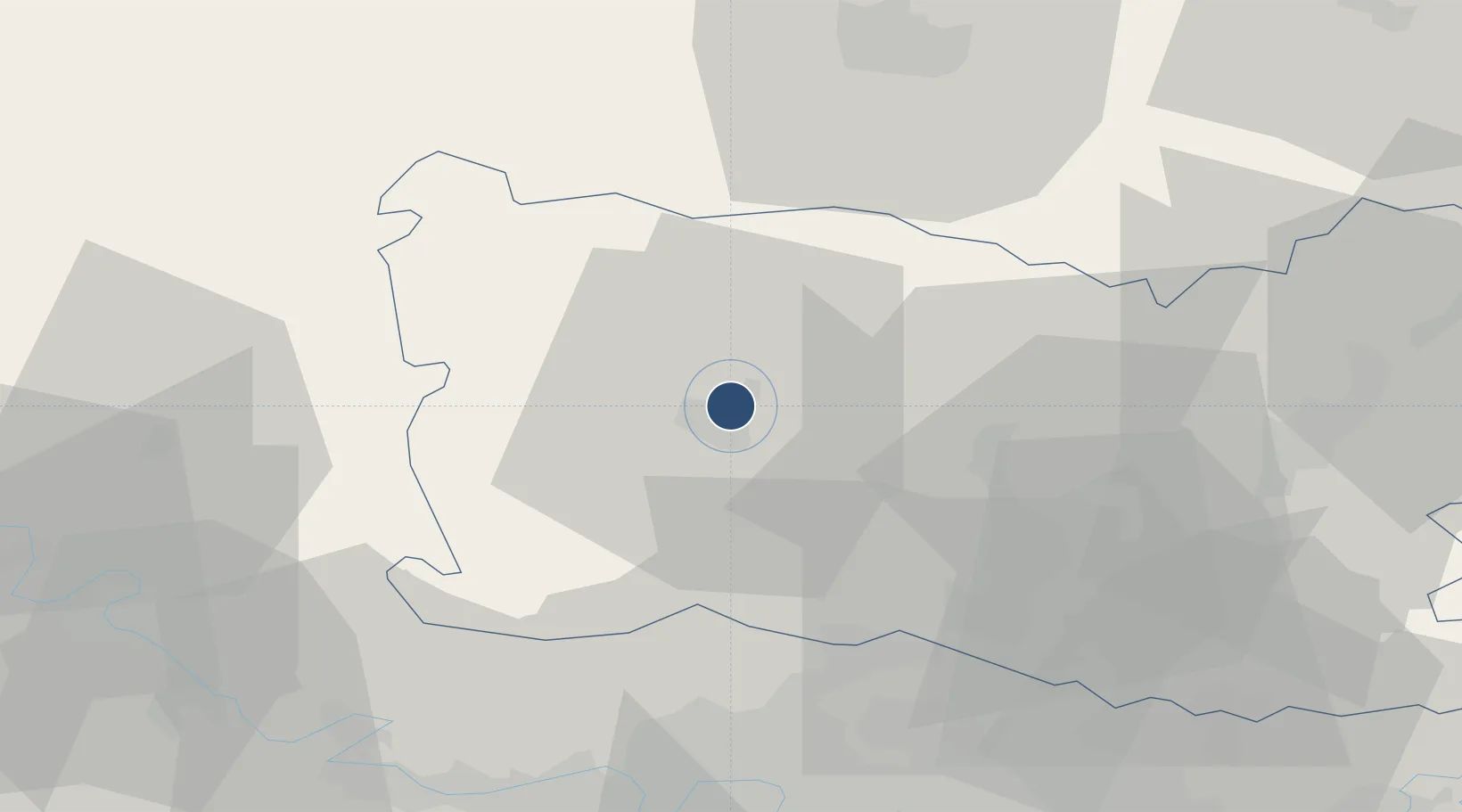
49.4544°, 2.1128°
7,972 ft
Longest runway
3
Runways
359 ft
Elevation

Runway & Layout

Beauvais-Tillé airport runway & taxiway layout
Runway & taxiway layout — OpenStreetMap (ODbL) / OurAirports

Radio Frequencies

ATIS
118.375 MHz
BEAUVAIS ATIS
TWR
121.4 MHz
BEAUVAIS TWR
APP
119.9 MHz
BEAUVAIS APP
OurAirports

Navaids

BVS VOR Beauvais 115.90 MHz
OurAirports

Runways · 3

RunwayDimensions SurfaceTrue headingLit
12/30 7,972 × 148ft Asphalt 125°
04/22 3,625 × 98ft Asphalt 042°
13R/31L Unknown
OurAirports

Airport Specifications

IATA code
BVA
OurAirports
ICAO code
LFOB
OurAirports
Airport class
Large airport
OurAirports
Scheduled service
Yes
OurAirports
Runway surface
Asphalt
OurAirports
Served city
Beauvais
OurAirports

Location

Location of LFOB
Natural Earth 10m (public domain) · Oise · LFOB · 49.45, 2.11GoogleOSMYandex

Nearby Logistics Neighbours

Airports
  1. 1Creil Air Base37 km
  2. 2Pontoise-Cormeilles Aerodrome40 km
  3. 3Amiens Glisy Airfield51 km
  4. 4Charles de Gaulle International Airport59 km
  5. 5Paris-Le Bourget International Airport60 km
Nearest neighbours — logibook spatial index (haversine) over the source coordinates
Cities
  1. 1Tillé1 km
  2. 2Beauvais3 km
  3. 3Reuil-sur-Brêche10 km
  4. 4Villers-Saint-Sépulcre12 km
  5. 5Berthecourt13 km
Nearest neighbours — logibook spatial index (haversine) over the source coordinates
Ports
  1. 1Port Of Rouen76 km
  2. 2Le Treport87 km
  3. 3Saint-Valery-Sur-Somme89 km
  4. 4Dieppe91 km
  5. 5Fecamp131 km
Nearest neighbours — logibook spatial index (haversine) over the source coordinates
Trade Zones
  1. 1ZFU Beauvais5 km
  2. 2ZFU Creil et Montataire30 km
  3. 3ZFU Amiens47 km
  4. 4ZFU Villiers-le-Bel53 km
  5. 5ZFU Les Mureaux54 km
Nearest neighbours — logibook spatial index (haversine) over the source coordinates
DatabookThe Record of Consolidated Knowledge
France beyond logistics?
Browse databook

All Sources

AirportsOurAirports
Public domain
Portsthe NGA World Port Index
Public domain (US gov)
LocationsUN/LOCODE
UN/LOCODE — free
Trade Zonesthe World Bank SEZ database
CC BY 4.0
Trade ZonesOpen Zone Map
CC BY
InfrastructureOpenStreetMap
ODbL 1.0
← France airports