Transport Functions
Rail
Road
Hub Profile
Place type
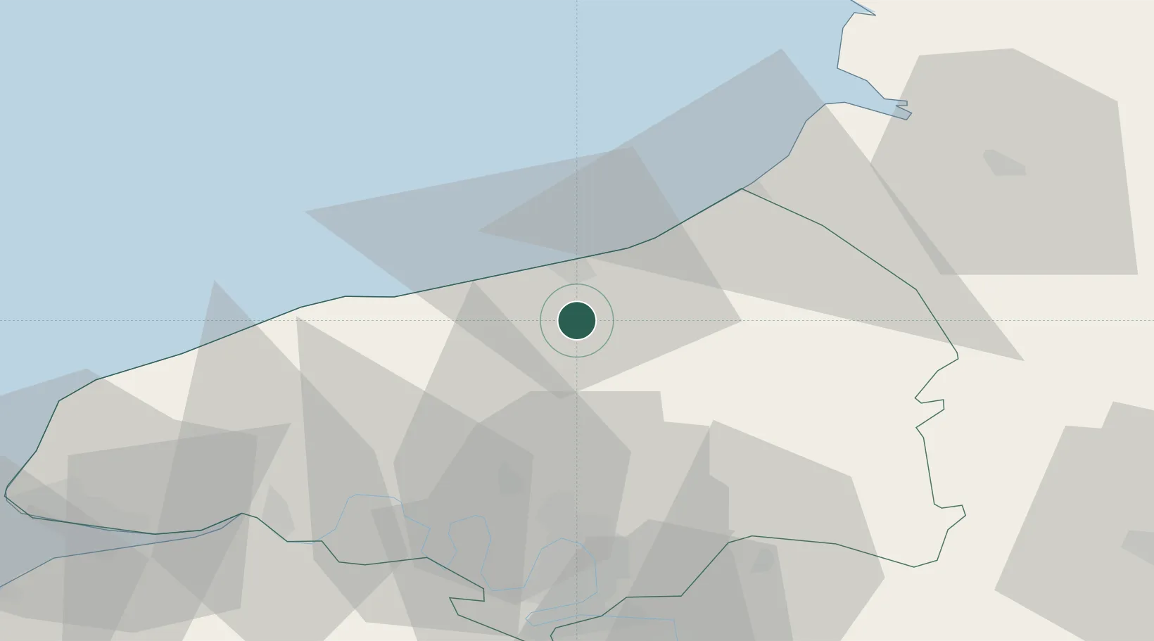
Populated place
Region
Normandy
Population
190
Time zone
Europe/Paris
Elevation
39 m
Location
Nearby Logistics Neighbours
Cities
- 1Anneville-sur-Scie0 km
- 2Martin-Église9 km
- 3Dieppe9 km
- 4Rouxmesnil-Bouteilles9 km
- 5Luneray12 km
Ports
- 1Dieppe11 km
- 2Le Treport33 km
- 3Port Of Rouen43 km
- 4Fecamp52 km
- 5Saint-Valery-Sur-Somme55 km
Airports
Trade Zones
- 1ZFU Rouen Bihorel41 km
- 2ZFU Amiens75 km
- 3ZFU Le Havre79 km
- 4ZFU Beauvais82 km
- 5ZFU Évreux90 km
DatabookThe Record of Consolidated Knowledge
France beyond logistics?