Economic Revitalization Project · France
ZFU Amiens Active
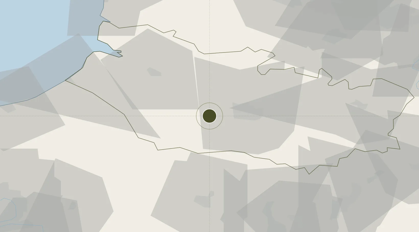
49.8796°, 2.1259°
172 ha
Zone area
49.6 km
Nearest port
18.7 km
Nearest airport
Gateway access
Zone profile
Zone type
Economic Revitalization Project
Region
Somme
Status
Active
Management
Public
Operator
Amiens Métropole
Legal framework
Décret no 65-939 du 8 novembre 1965, Décret du 9 Octobre 2008
Location
Nearby Logistics Neighbours
Ports
- 1Saint-Valery-Sur-Somme50 km
- 2Le Treport58 km
- 3Dieppe75 km
- 4Port Of Rouen90 km
- 5Boulogne-Sur-Mer102 km
Airports
Cities
- 1Ailly-sur-Somme7 km
- 2Arguves9 km
- 3Luilly11 km
- 4Amiens13 km
- 5Tilloy-lès-Conty15 km
DatabookThe Record of Consolidated Knowledge
France beyond logistics?